Via Lemovicensis: a Pretty Perfect Walking Day
At breakfast I reconnected with Judith, who also stayed at Espace Bernadette Soubirous last night. The place is so enormous, though, I never saw her until this morning.
But here’s the single most important thing to know about breakfast: there was coffee.
Going in, I knew that today was going to be a long day – more than 30 km. Looking at my Miam-Miam Dodo guide, though, this section reminded me of parts of the Camino Francés: every four or five kilometers there was a village with a café, at least for the first half of the day.
I figured I could take the long day in easy stages. Spoiler alert: no.
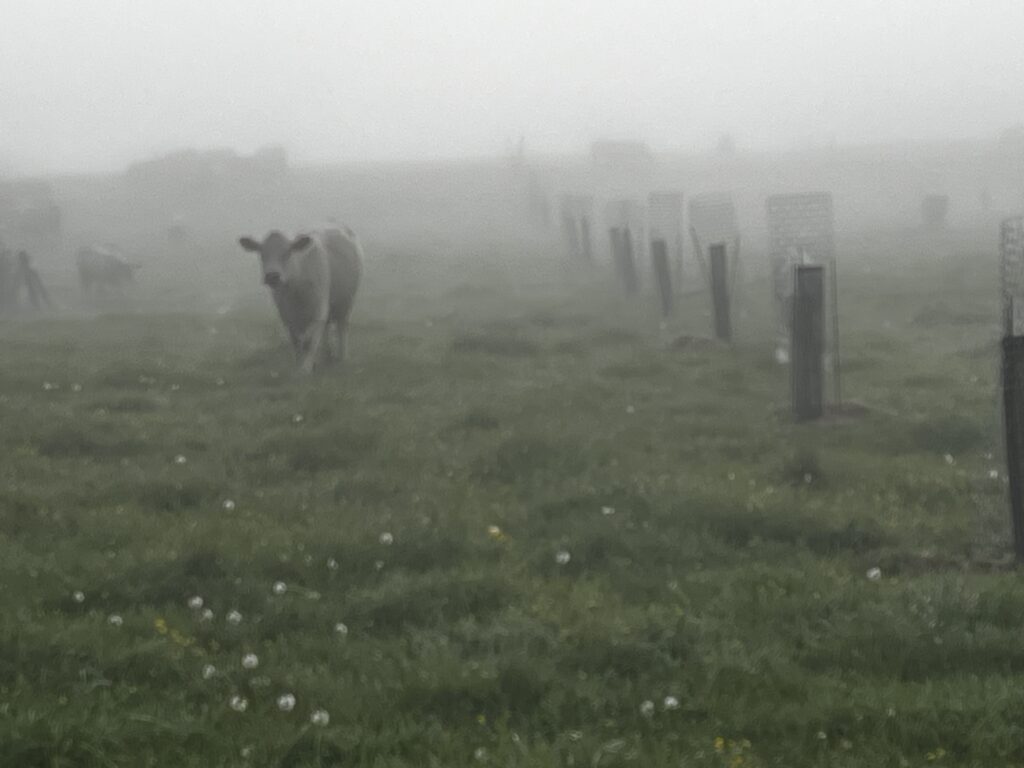
Because breakfast didn’t even start until 7 AM, I left later than I wanted to. And then there was the challenge of refinding the Camino route in the big city. It was another cold, misty morning.
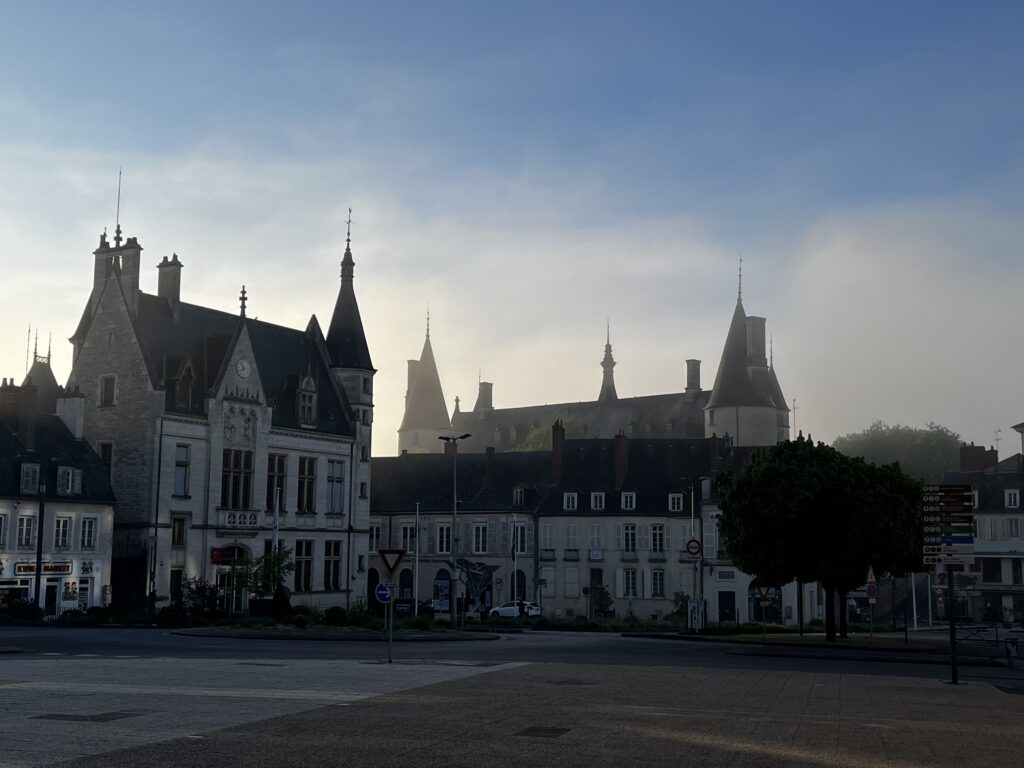
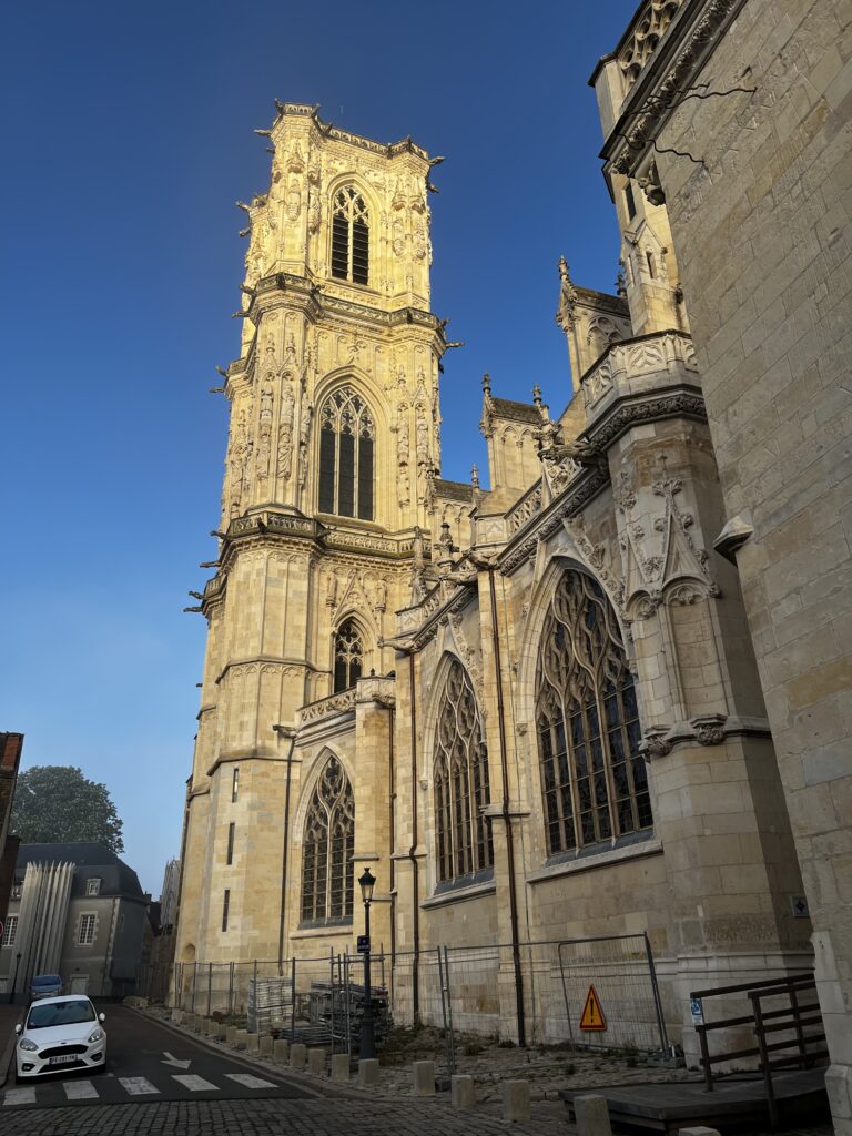
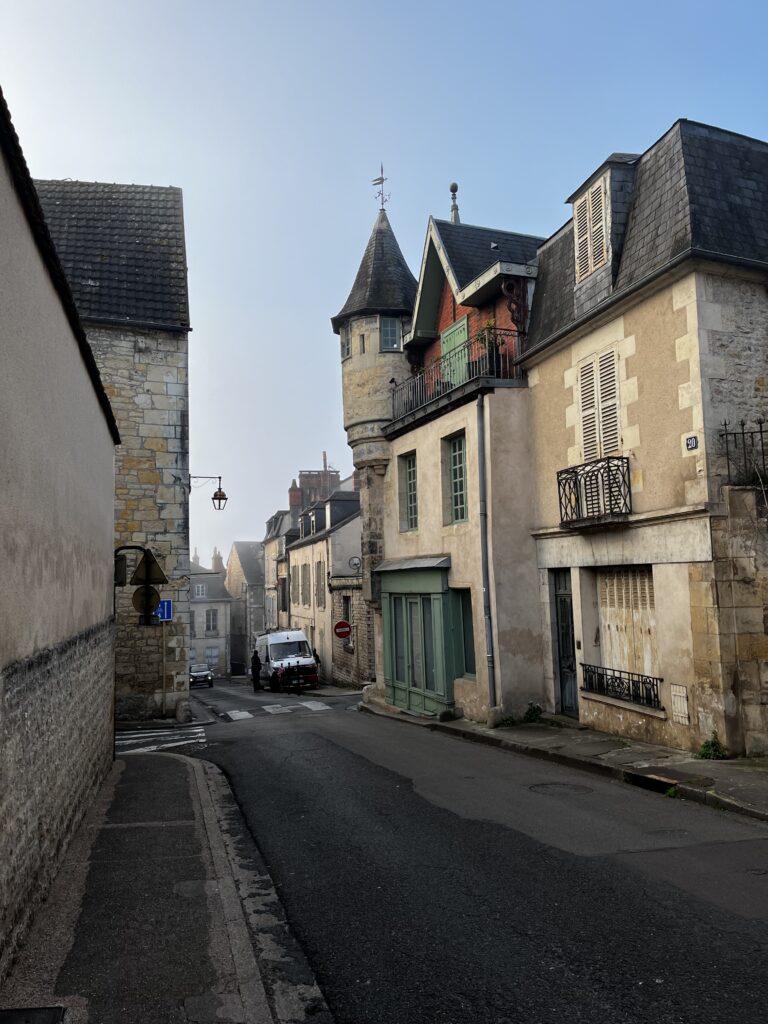
Fortunately, I had the GPS tracks of the route, thanks to the Dutch Pilgrim Association, so I set off across town in the right general direction. My path led me through the park, past the cathedral, and through the beautiful old medieval section of town.
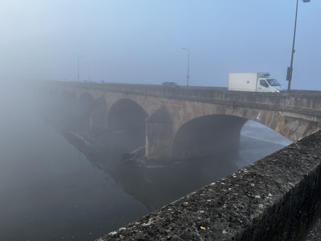
It was already after 8 AM by the time I was crossing the bridge over the mighty Loire. It was so foggy, I couldn’t see the end of the bridge. it was only on the far bank that I finally saw my first marker for the Camino.
The route continued on a wide sidewalk beside the highway I had taken out of Nevers. The urban/suburban landscape continued for a long time, through the suburb of Challuy, which the Camino exited and re-entered several times.
About 8:30 AM, the Camino turned down a decidedly less busy street and into a residential neighborhood that grew in increasingly rural as the kilometers rolled by, until finally the houses stopped altogether.
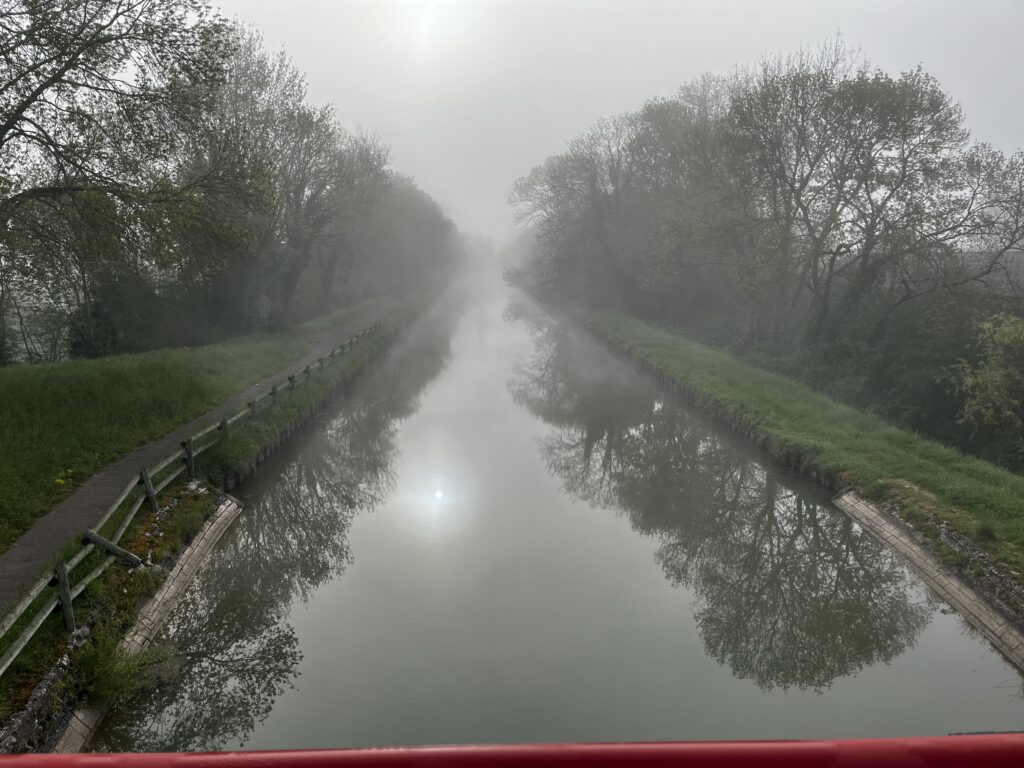
The Camino crossed over a canal and entered Challuy for the final time. Other than a small château and a few scattered houses, it was all farmland as far as I could see. Which wasn’t far, given the fog.
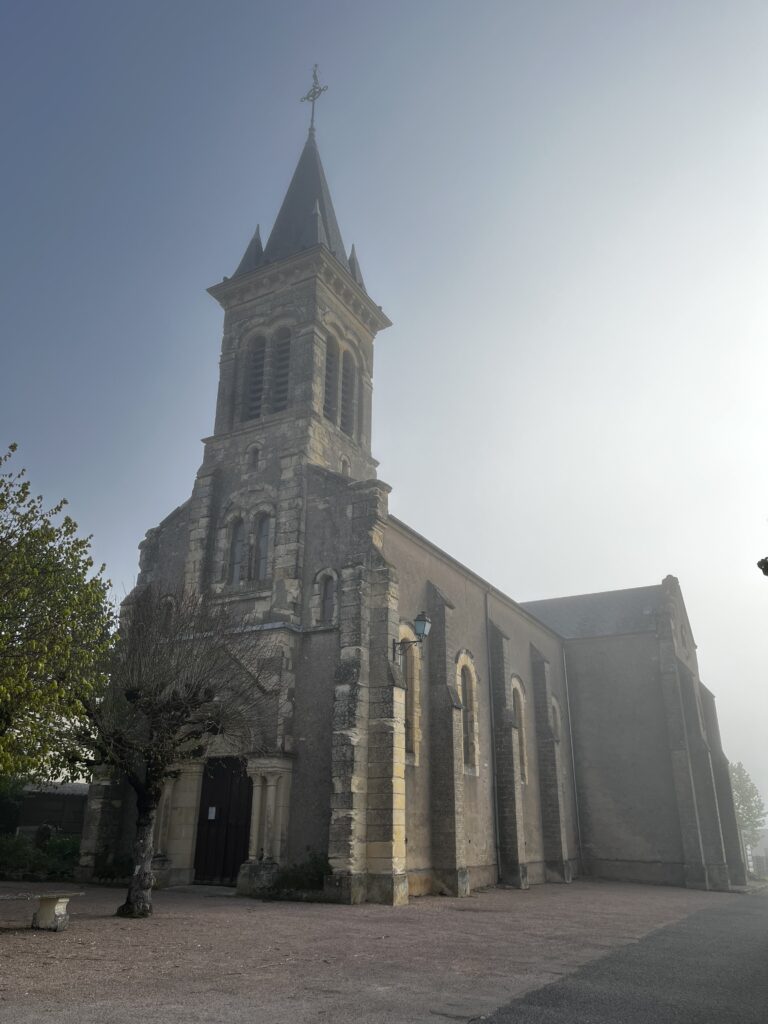
Just before 9 AM, I passed through what was probably the original village center of Challuy. I stopped by the village church, which was of course locked. Didn’t stop me from praying outside, though.
And then it was back to the misty countryside.
After passing a number of farmsteads, I walked through the sprawling hamlet of Aglan at about 9:40 AM. This place very much had “affluent suburb” written all over it. I was now almost a third of the way into today’s stage, and despite the promises of my MMD, I had not seen a single café.
It was starting to warm up, and the fog had finally begun to burn away.
About 10:25 or so, I passed through the charming little hamlet of Les Pitiaux, mostly lost in thought. I nearly missed a turn.
Just a few minutes later I entered the outskirts of the village of Magny-Cours, but it was 10:45 AM before I finally arrived in the village center.
Most of the houses, especially on the outskirts, look like they were part of a housing development, modern construction and cookie-cutter design. The old village center had more of a quirky charm, though many of the businesses were shuttered– including the only restaurants or cafés I saw.
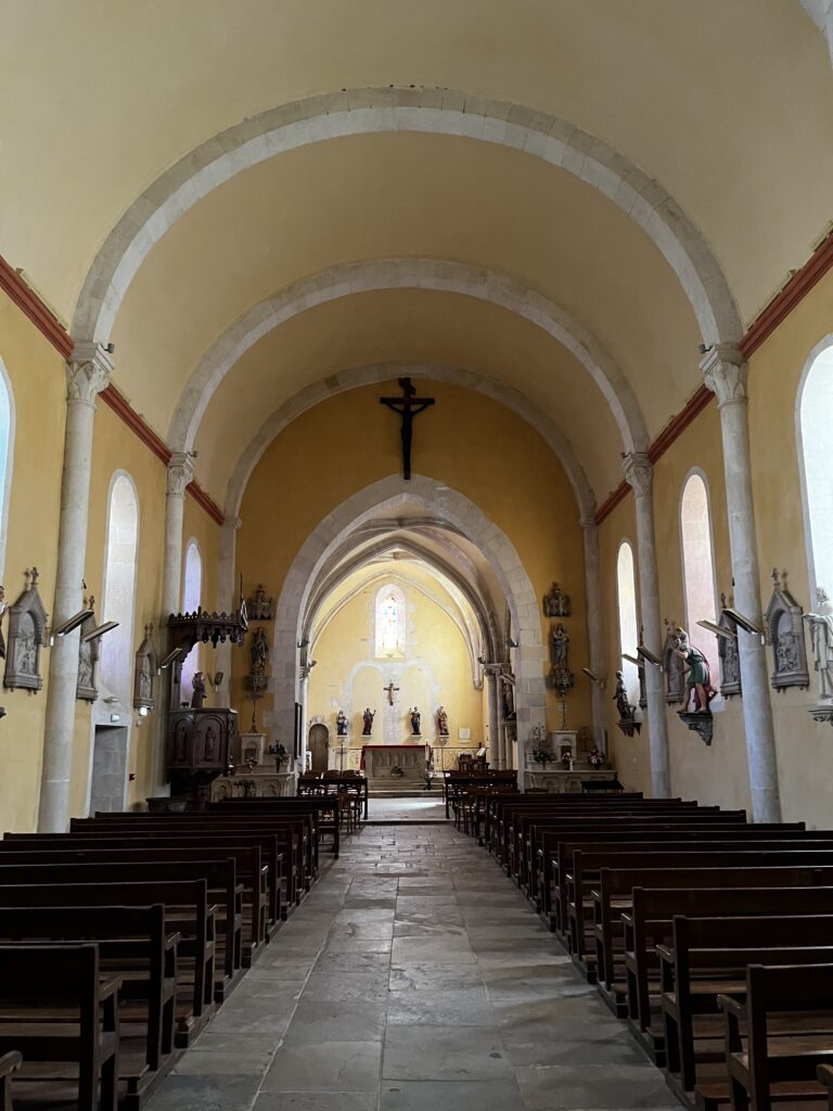
I popped in to pray in the village church, which consisted of a Romanesque nave and a Gothic sanctuary. It looks very much as though it were part of a larger building – there are closed off arches behind the altar that clearly used to lead somewhere. Possibly it was part of a monastery at one point?
Soon enough, it was out of town, past an impressive château, over a highway, and then back out into the countryside. In the distance, I could hear the unmistakable roar of the Magny-Cours Formula One test track in use.
At some point, I put on my sunglasses and fished an apple out of my stash. There’s nothing like the simple pleasure of eating an apple while walking through the countryside.
Eventually, I ran out of asphalt and continued on down a stony dirt farm road. This lasted, blissfully, until about noon before returning to asphalt once more.
At about noon I entered the hamlet – really, subdivision – of Mont, on the outskirts of the village of Saint-Parize-le-Châtel. I arrived at the church about ten minutes later. Both the town and church are named after the man who evangelized this region in the fourth or fifth century – Saint Patrick.
No, not that one. Different Patrick.
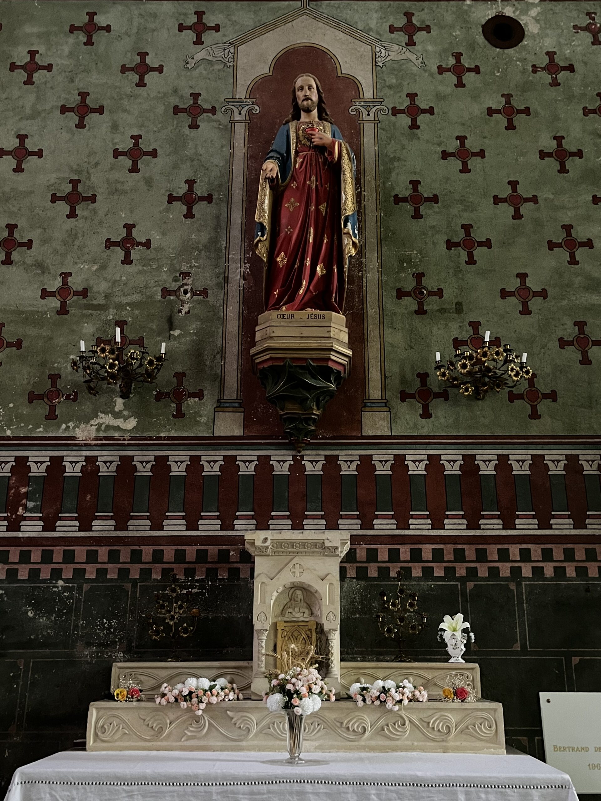
In any case, this church is a Romanesque jewel. Words can’t do it justice, but I did take a lot of photos. The painting and the statuary are much more modern, of course, but the church dates to the 12th century.
It was built on the site of a much earlier chapel that was likewise dedicated to Saint Patrick.
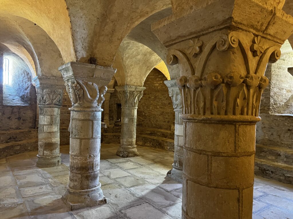
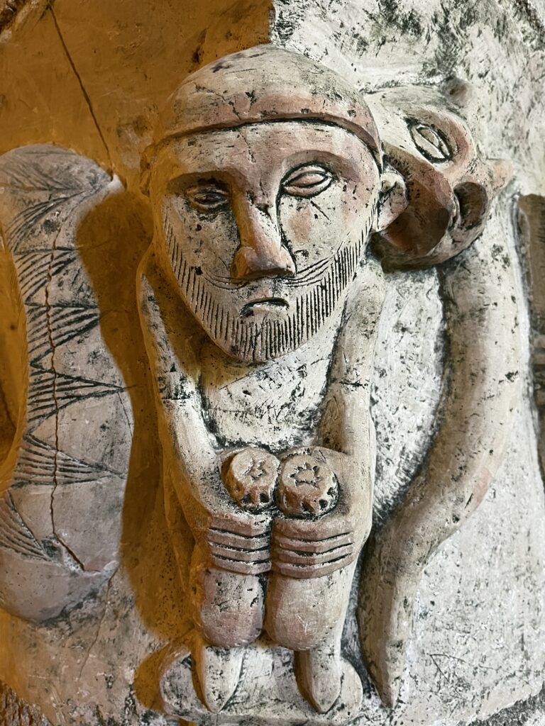
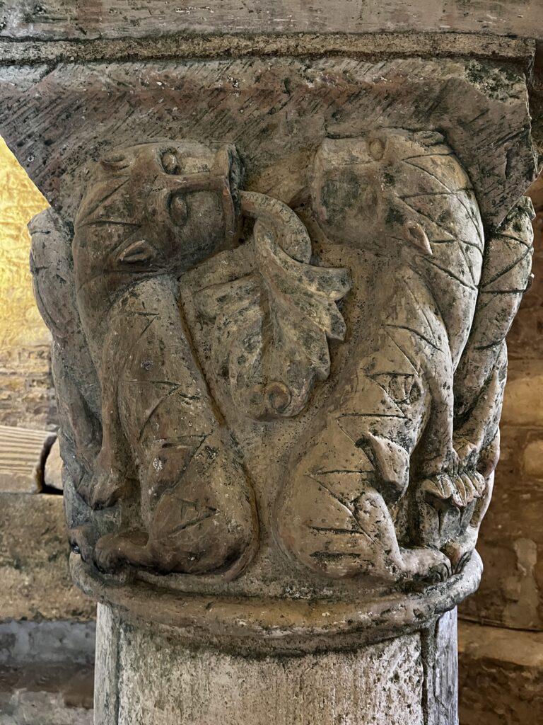
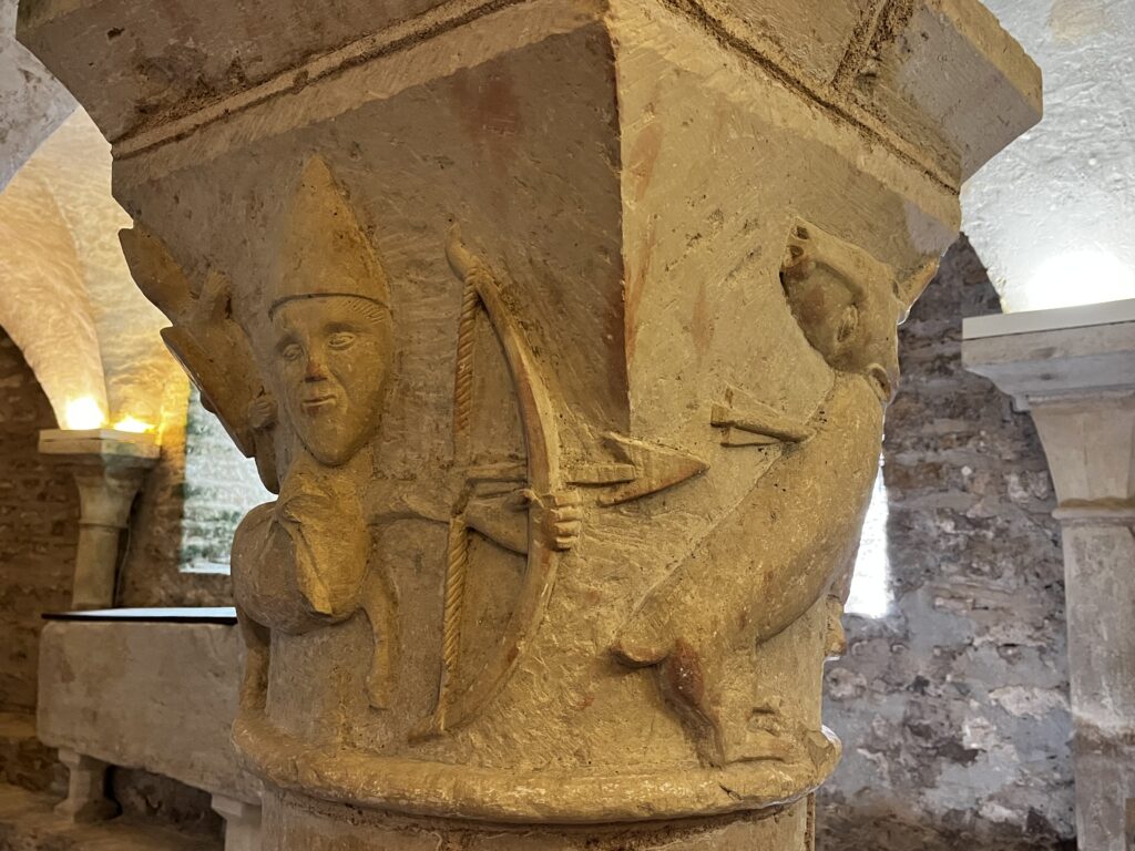
As glorious as the church itself is, the crypt is even more interesting. It retains six Romanesque capitals, and the ceiling is so low, you can see them at eye level. They are remarkably well preserved and absolutely gorgeous.
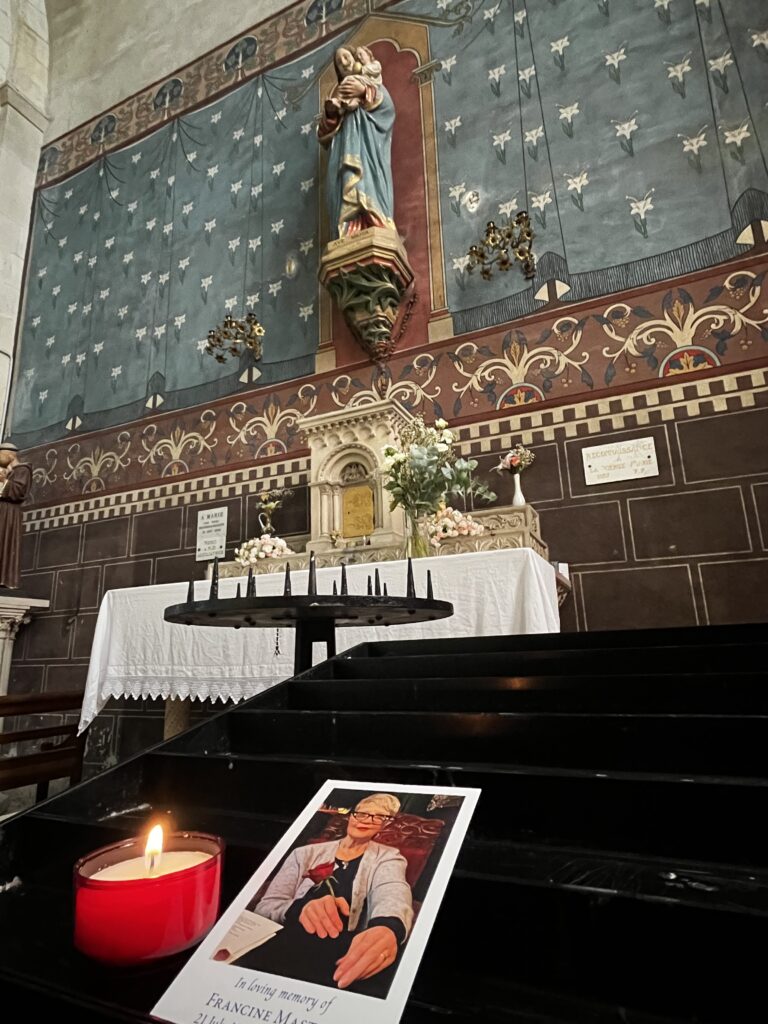
Sitting down there, I was moved once more to pray – for Francine, but also for those entombed there.
When I returned to the main level of the church, I lit a candle for Francine.
I had stayed in the church rather longer than I meant to, and it was 12:30 before I was walking again. I took a little detour into the village center, and I’m very glad I did.
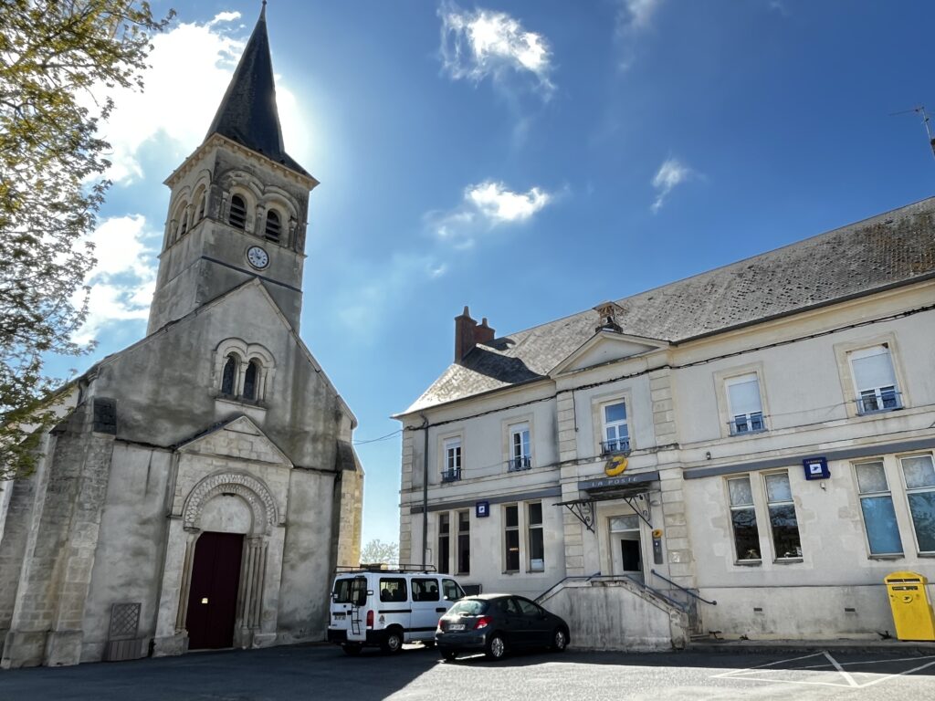
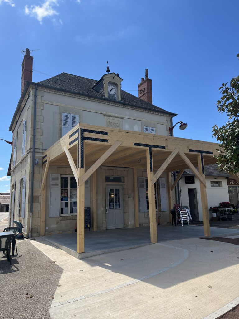
I found the most delightful little family restaurant in the old post office building there. Dad cooks, mom runs the front of the house, the older daughter is the waitress, and the younger daughter – all braces and glasses and enthusiasm – practices her English by peppering pilgrims with questions.
It was an absolutely delightful experience and a very delicious lunch. But it meant that it was now past 1:30, and I had ten or 11 kilometers to go on my day yet.
Fortunately the air was still cool, the sky was bright, and the sun was hiding behind a cloud. It was a perfect afternoon for a long walk.
Soon I was alternately roadwalking through meadow and forest land.
At just past two, I passed Rond de Bord, a little gîte in the middle of nowhere. It looked to be quite a pleasant place. It stands at a six-way intersection of paths and roads, which is a little unusual out here in the country. As I turned around to take a photo, I noticed another pilgrim catching up to me.
The road ahead, meanwhile, was so straight you would have thought it had been laid out by the Romans. Maybe it was.
I stopped for a moment to finally take off my fleece, and the other pilgrim caught up to me it was Maas! I first met him at Vézelay, but our first conversation was the next night at Le Chemin.
We walked together, and I learned a little more about him. He’s twenty years my senior, and he’s clearly in better shape than me. Normally, he’s a cyclist, and this is his first Camino.
At some point, the asphalt turned into a dirt road. About 3 PM, we passed what I took to be part of a castle but turned out to be a 15th-century hunting lodge called Manoir de la Biauce, which may or may not be on the same site as a previous one from the seventh century.
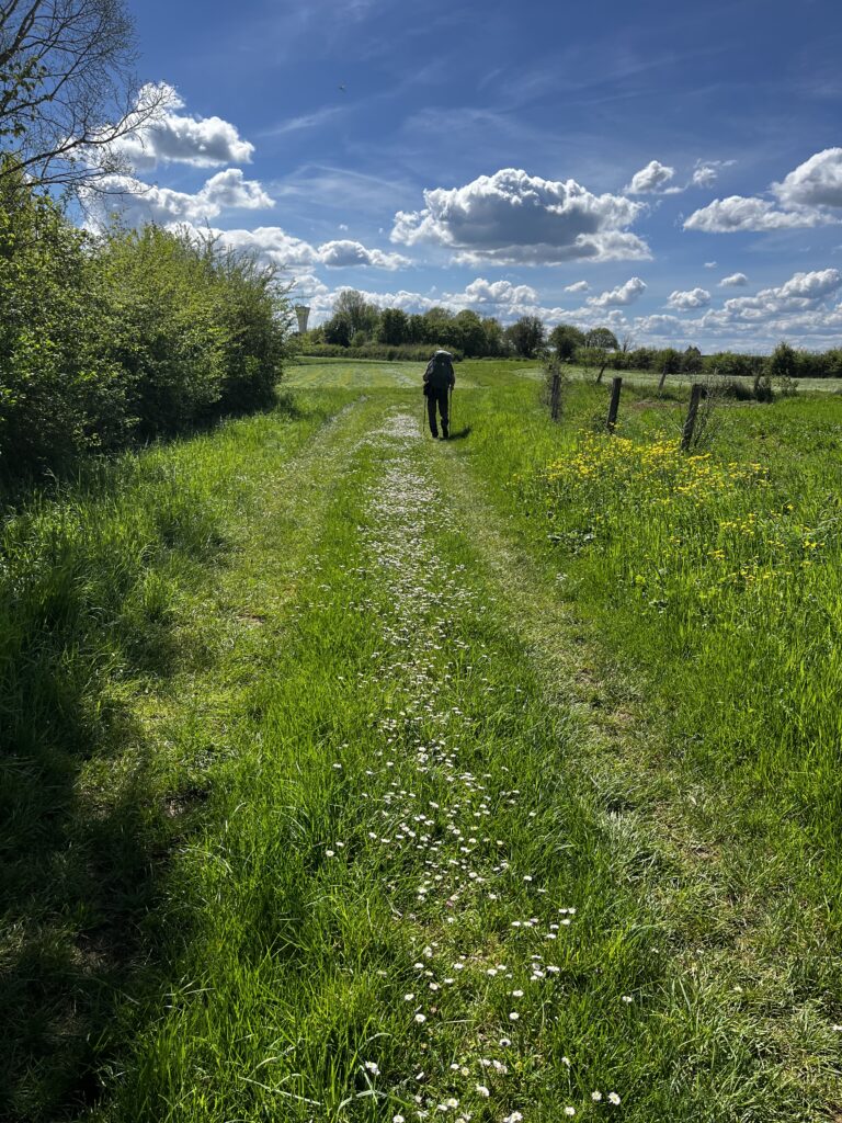
After this, the dirt road rapidly deteriorated into a mud road, which made for slow going. As we got to marginally higher ground, the road dried out and the mud was replaced with daisies. I can’t remember ever walking a road of daisies before.
But it got even stranger. We came out into a large farm field, startling several storks that flew off at our approach. The Camino here was literally a raised bed of grass through the middle of a plowed field.
At about 3:20, we were back to roadwalking on asphalt. It was getting warmer for sure, and I considered putting up my umbrella. We passed by a number of farm houses before having to cross another major highway.
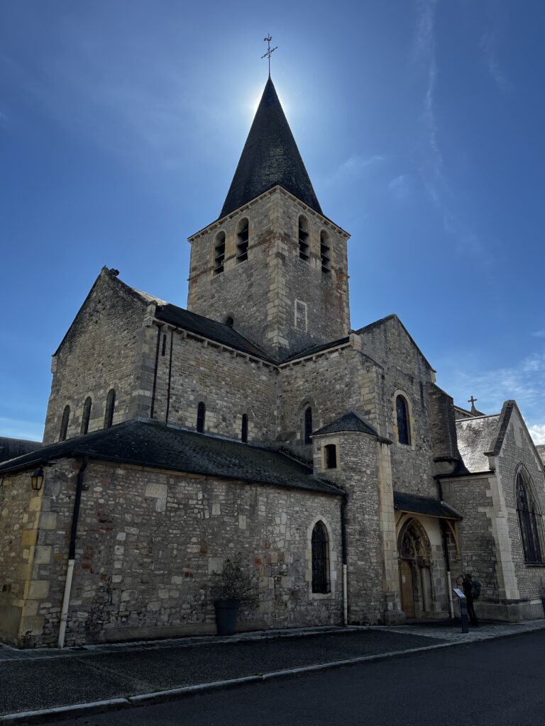
At 3:30 PM, we passed under the N 7 and into the town of Saint-Pierre-le-Moûtier. First we walked through the usual suburban-like residential neighborhood, but gradually we came to the maze of its medieval center.
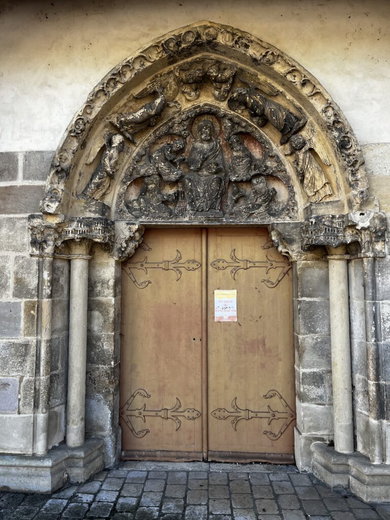
We arrived at the village church at 3:45 PM. The tympanum was truly lovely, if marred by pollution and centuries-old vandalism.
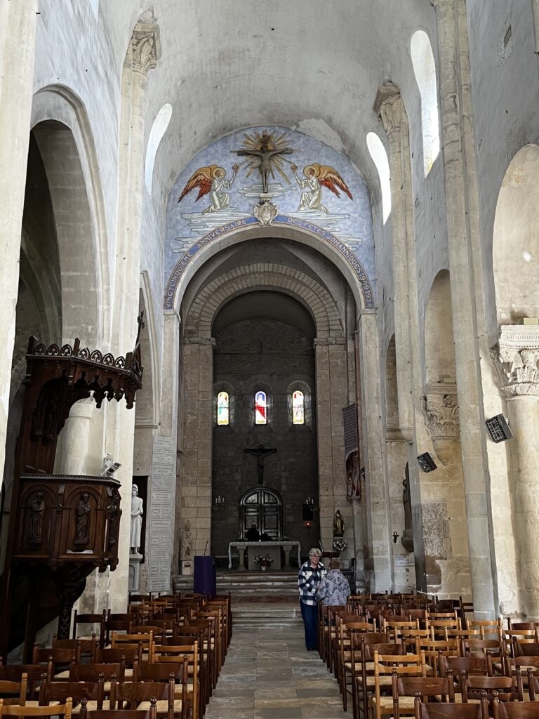
Mass had just ended. Parishioners were lingering, and the smell of incense filled the air.
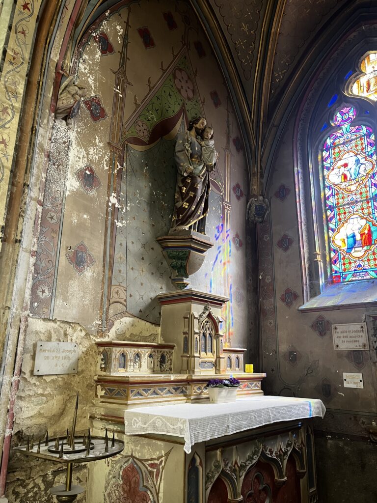
The inside of the church was an eclectic mix of Romanesque solidity and 19th century kitsch. The building itself is almost certainly from the 12th century, but just as certainly it’s been restored and “modernized” several times over the centuries. There are still traces of what I believe to be medieval frescoes here and there, but the majority of the paint work is probably from the 18th or 19th century.
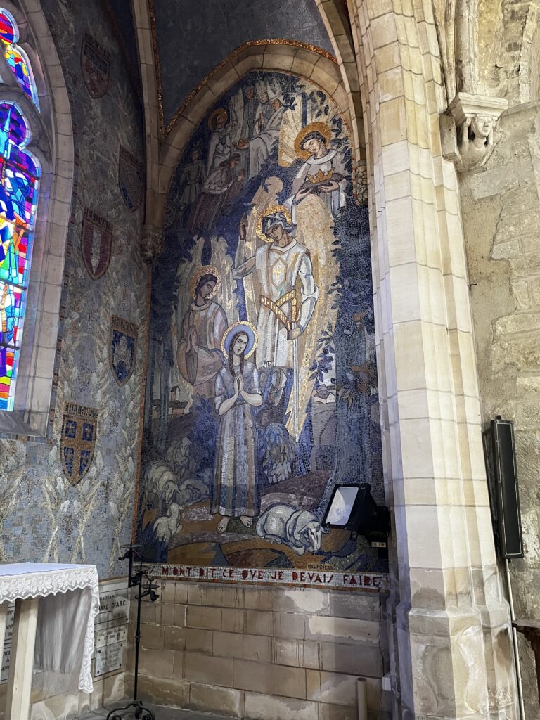
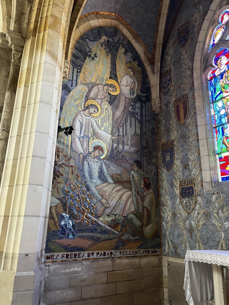
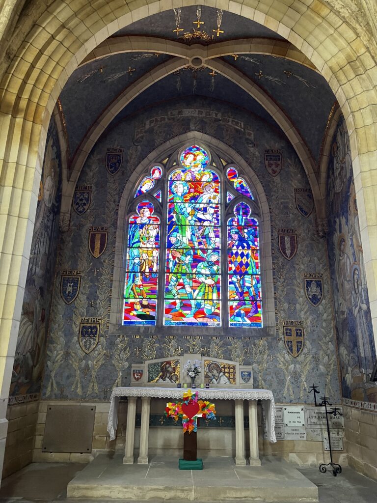
Some of the art transcended its style and was simply extraordinary – particularly the mosaics in the chapel of Saint Joan of Arc. Absolutely stunning.
Saint Joan, though her army was terribly outnumbered, liberated the town from the English on November 4, 1429. The inhabitants have never forgotten this.
After a short prayer, we left the church at about 4 PM.
The gîte was a kilometer or two from the town center, along a two-lane road. My MMD, though, had the location indicated incorrectly on the map. That’s the second time today it let me down. If it wasn’t for Maas and his app showing the correct location, I don’t think I would’ve found it.
We arrived about 4:30, and Judith followed perhaps half an hour later.
According to my tracker, today I walked 35.7 km. While this doesn’t break my personal record, it’s still the second farthest I’ve ever walked in a single day. (On 11 September, 2023, I walked from Condom to Éauze, a distance of 37.2 km.)
This gîte is a gîte in the proper sense of the word. It’s somebody’s home. It belongs to Sylvie and Alain, our most gracious hosts. Maas and I are bunking in an outbuilding that looks like it was built out of a small shipping container. Judith is sleeping in a spare bedroom in the house. Dinner was in the family dining room.
Aperitifs before dinner included a local, homemade drink called Katafia. Can recommend.
Date: 14 April 2026
Place: Saint-Pierre-le-Moûtier
Today started: Nevers
Today’s Photos!

What a remarkable day you had Thom! God places Angels and new friends for you when needed. Impressive scenery and churches you encountered