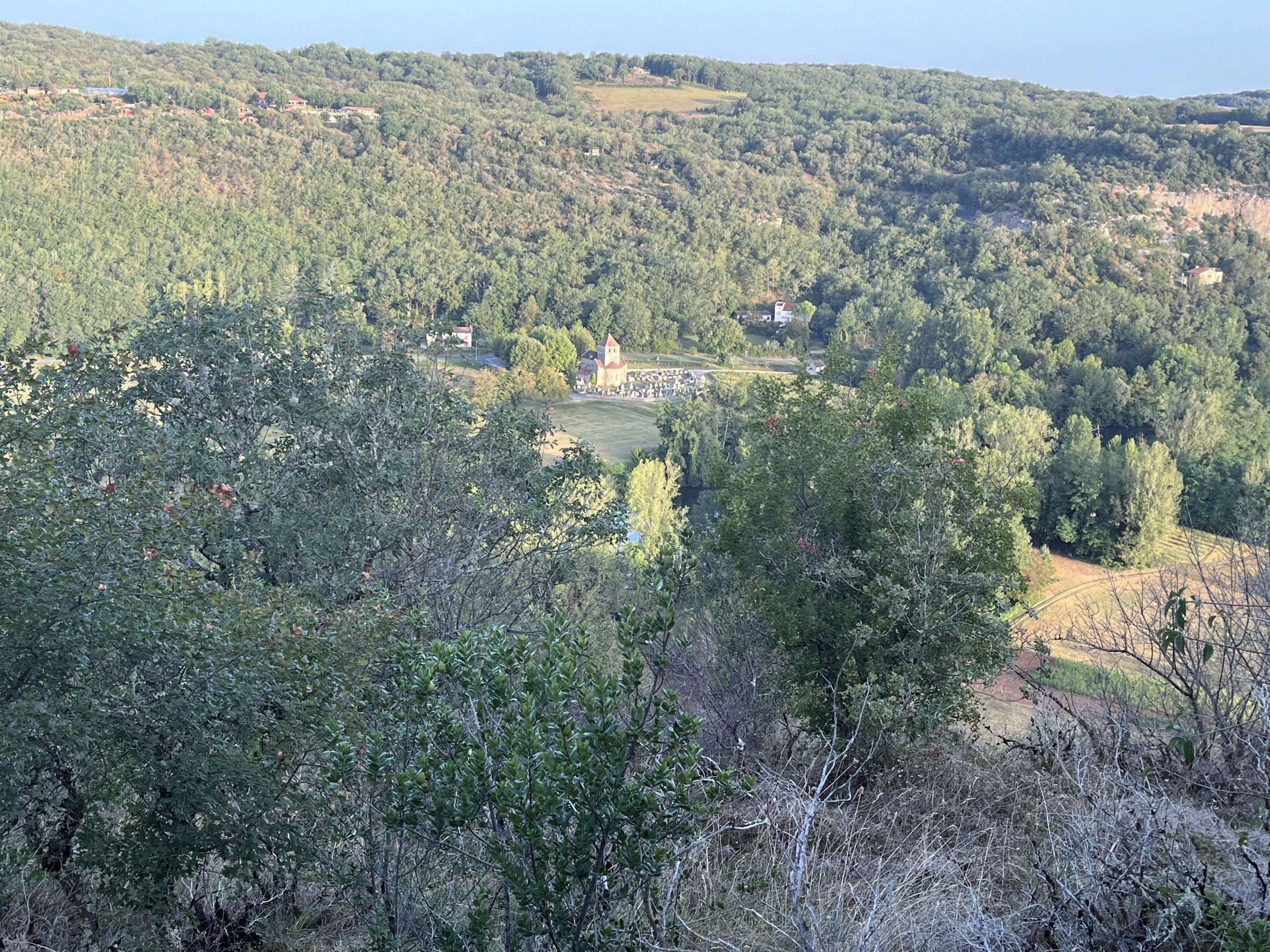
Camino Photo of the Day: the View into the Valley
The Way climbed high above the river. From the vantage point near the top, I could see farms and gardens spreading out from the banks, so it appears this rough route was designed to avoid the farmers’ property. I was already dripping with sweat, and the forest was warm and humid. It was only when I came to a bit of a clearing that I realized that my path was at the same altitude as the tops of the cliffs that I had seen yesterday.
Date: 04 September 2023
Place: between Vers and Cahors, Lot Département, Region of Occitanie, France
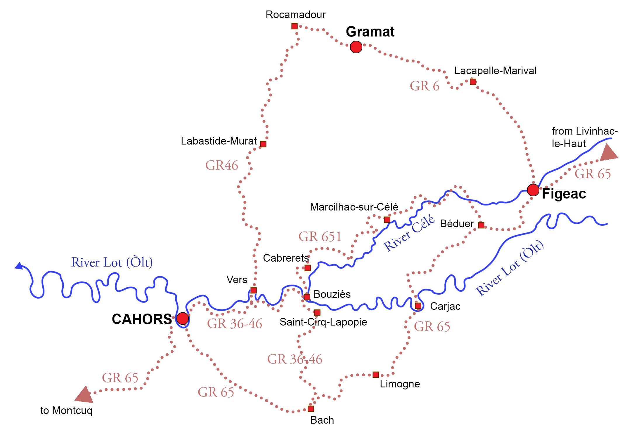
Maps!
The site I’ve been using for my daily maps, Gronze.com, while otherwise great, unfortunately doesn’t have maps for this variant. So here’s a map from my book Practical Pilgrimage showing the entirety of the three main variants and larger sub-variants. I walked the GR6 from Figeac to Rocamadour and the GR46 on to Cahors.