Camino Photo of the Day: 160.948 Km to Go
Here we see Francine checking out the first of the new Galician Junta distance markers on the Camino. From here on out, these will display the distance to the Crypt of Santiago down to the meter. How accurate are they? Well, I’ve heard it said that they used GPS to calculate the distance. But unless you walked step by step through the route, taking readings every few meters, I don’t see how you could map that accurately at all. Who knows?
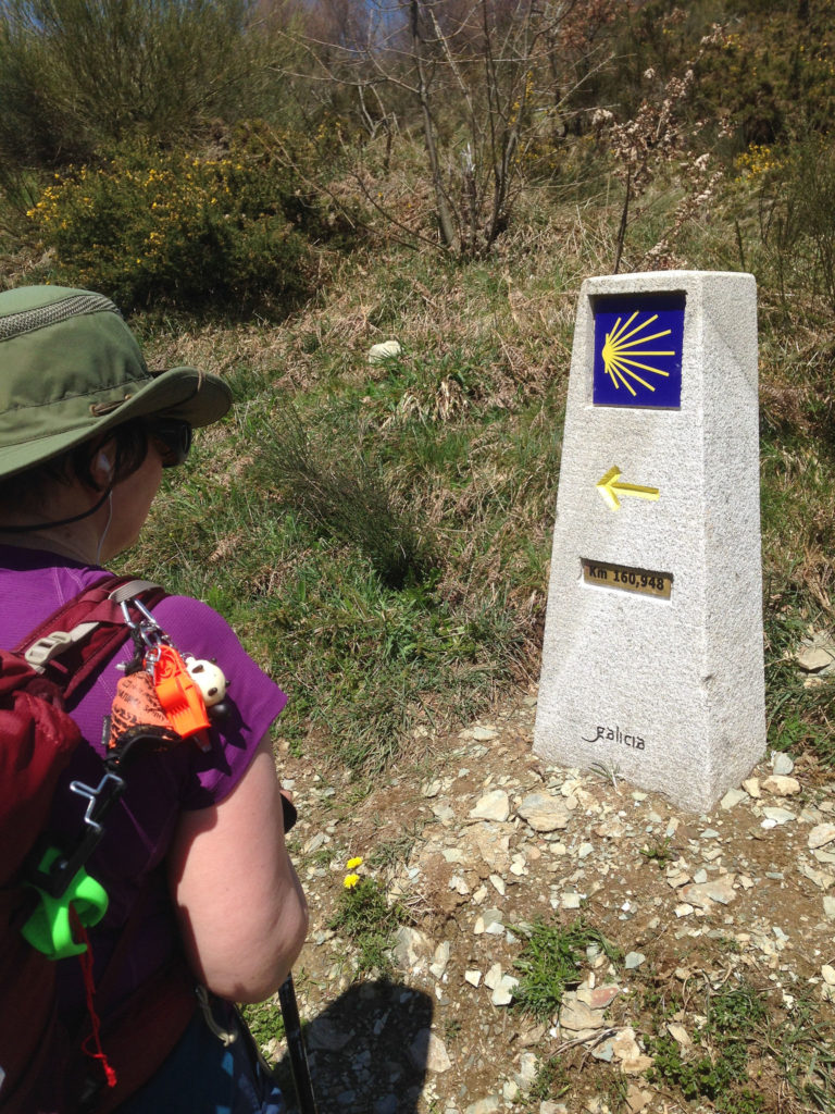
Date: 25 April 2016
Place: approaching O Cebreiro (Galicia, Spain)
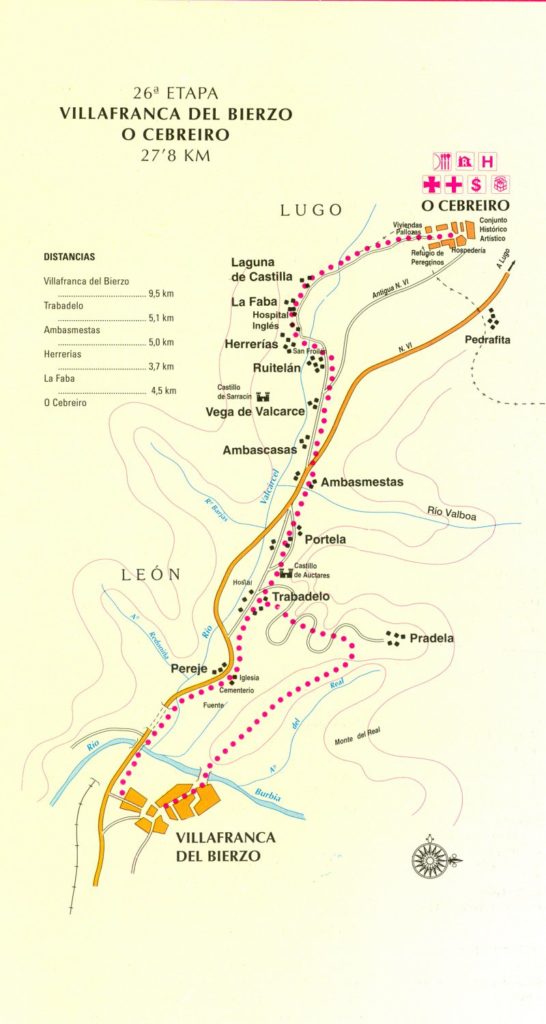
Today’s Map: