Camino Photo of the Day: Choosing a Destination
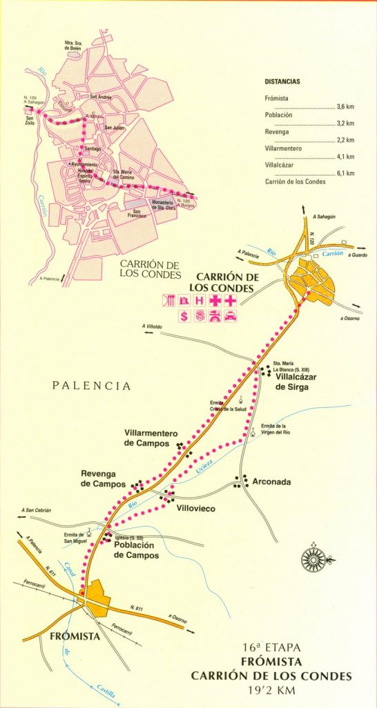
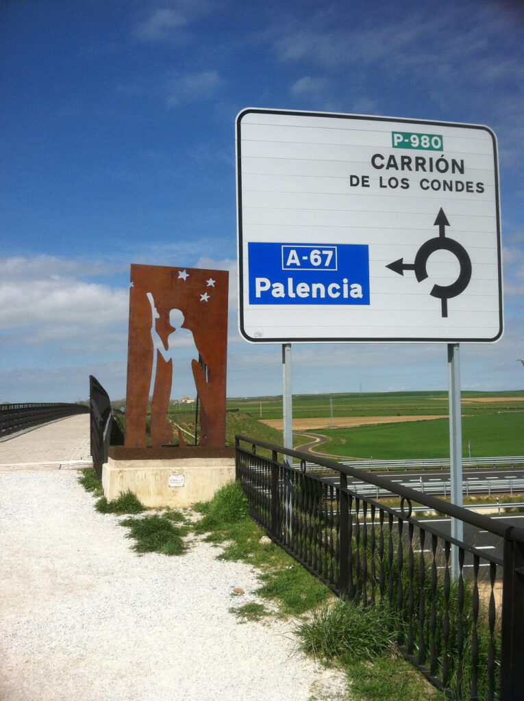
After leaving Frómista, the Camino follows the P-980 highway, which cuts across the Meseta in something approximating a straight line. It’s maddening, and for me at least, it makes the distance seem longer than it is. Eamon and I spent some time discussing our destination for the night. We’d already come more than 11 km today, and another 9km would bring us to the village of Revenga de Campos, which seemed an easy day, even with the highway walking.
But in the back of our heads was the possibility of pushing 19 km or so to the town of Carrión de los Condes. Why? Well, because the close-knit villages of days past were now coming to an end. After Carrión de los Condes, it’s 17.5 km to the next village – probably close to five hours without a place to get food or drink and with very little shade. We thought we’d much rather do that stretch at the start of the day than at the end. But that means that today would be a 30+ km day.
Date: 15 April 2013
Place: leaving Frómista (Province of Palencia, Castilla y León, Spain)
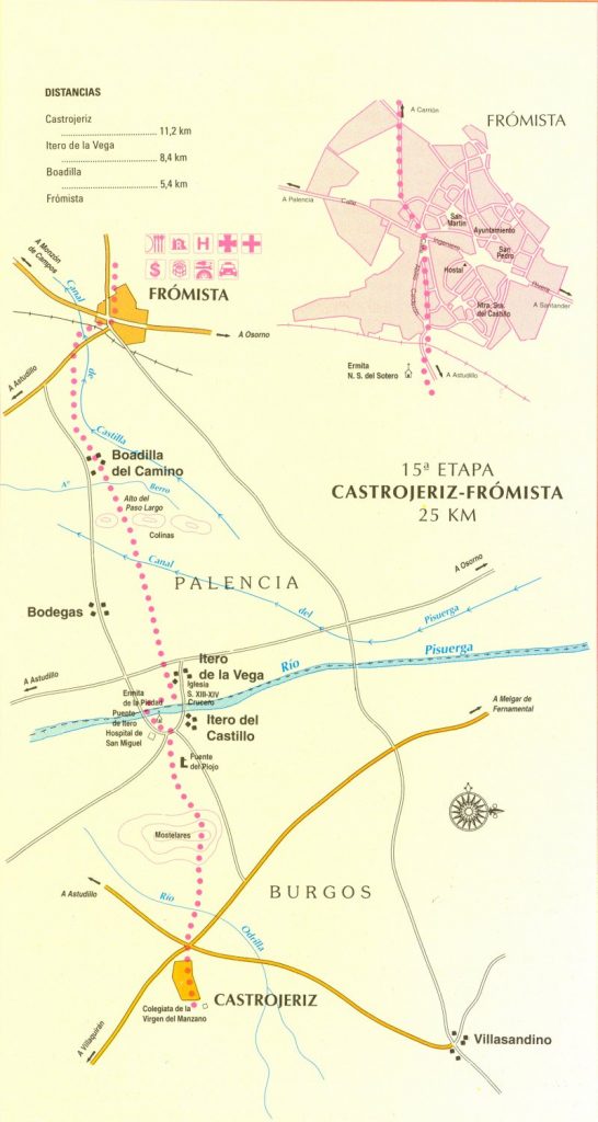
Today started: Itero de la Vega (Province of Palencia, Castilla y León, Spain)