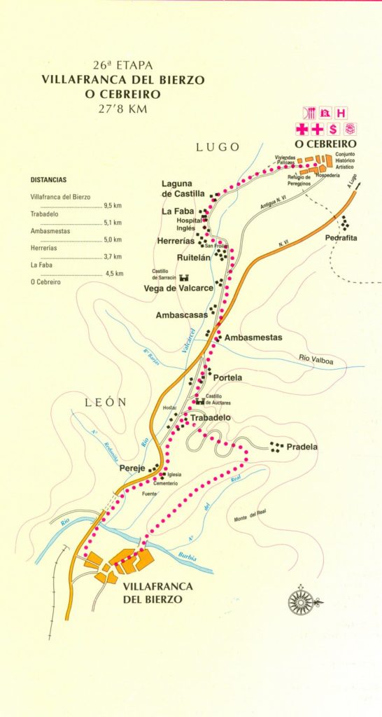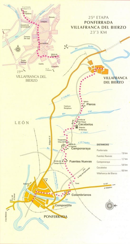
Camino Photo of the Day: Which Way is the Way?
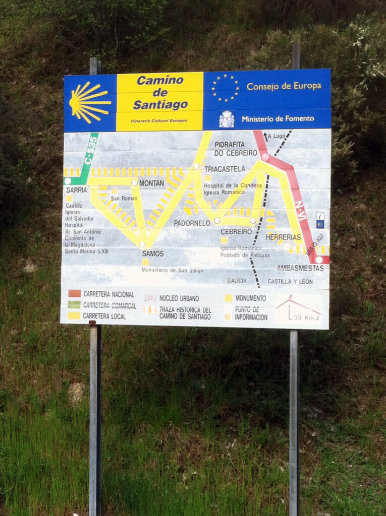
Somewhere past La Portela – I’m guessing in or near Ambasmestas – we saw this exceedingly unhelpful sign showing a sort of London Tube map of the next 60km or so of the Camino. It’s the sort of map that only helps if you already know where you’re going.
Date: 24 April 2013
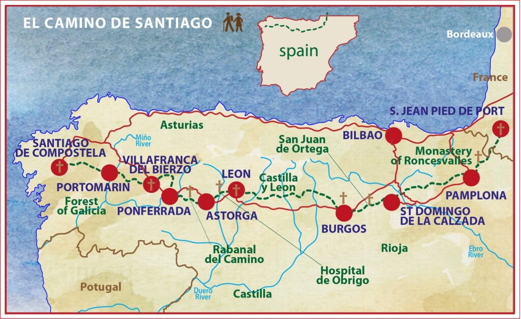
Place: between La Portela and Vega de Valcarce (Region of El Bierzo, Province of León, Castilla y León, Spain)
Today started: Cacabelos (Region of El Bierzo, Province of León, Castilla y León, Spain)