Via Podiensis: Route D’Artagnan
This morning, I overslept. After breakfast with Jacopo in the Presbytery refectory, I didn’t make it out the door until about 6:40 AM. Jacopo was running just a little behind me.
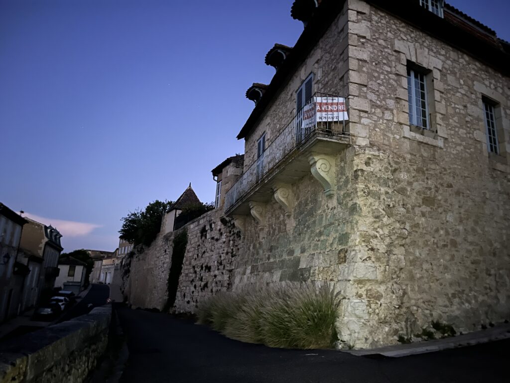
Slept like a baby. I definitely needed the rest. The streets of Lectoure were dark, and there was very little in the way of street lights. I could find exactly zero trail markers in the city, and I had to follow the route on my app, which made for slow going. It’s almost like they don’t want you to leave town!
I was almost a kilometer out from the city center before I saw my first trail sign. And it was an absolutely ambiguous placing of the red and white X telling me not to go down one of two different roads. Without the app, it would’ve been impossible to tell which way to go. I had yet to see a positive trail marker.
I turned my flashlight off at 7 AM. Still no trail markers. At this point I was walking through a mix of residential and light industrial buildings on the outskirts of the town, which was slowly transitioning to woods and larger and larger agricultural plots. At about 7:10, I found myself in the same sort of wide-open farmland that I had traversed much of yesterday. I still had not seen a trail marker.
It’s funny. Yesterday I got lost coming into the town, and I blamed it on my addled brains in the heat. But now I think it was just bad or nonexistent trail marking that was the problem. it’s possible that they rerouted the Camino through the town, but if this was the case then they should have made some much more obvious and much more frequent trail markings.
My route intersected with a major road, and I saw the sign telling me I was leaving town. Attached to it was the first trail marking I’ve seen. It was 7:15 AM, and I had walked more than 2.5 km.
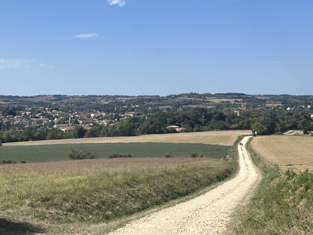
I walked across a bridge over the river Gers, shook the dust from my feet, and sped along the trail, which by this point was a narrow gravel track next to a double lane road.
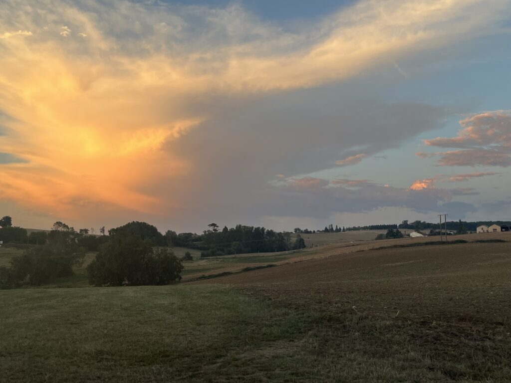
Thereafter, the trail markings were clear and frequent, and I made a much better time. The temperature was pleasant, although it was definitely muggy out. The sky was blue with fluffy clouds on the horizon in almost every direction.
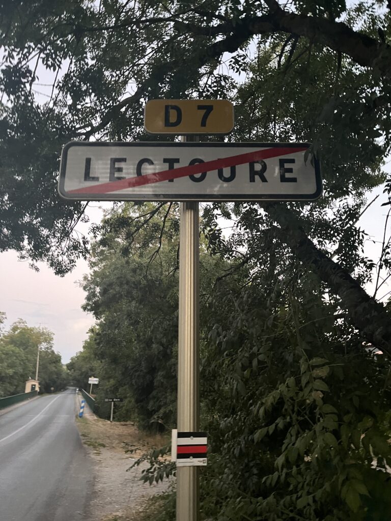
The Camino today joined up with another hiking trail in France, the Route D’Artagnan. This is a hiking trail that goes from the birthplace of the real D’Artagnan to the site of his death in modern day Belgium.
I suppose, technically, I’m walking this route backwards, since I am heading towards the town of his birth. At some point today, I left the region of Occitanie and was now walking through Gascony.
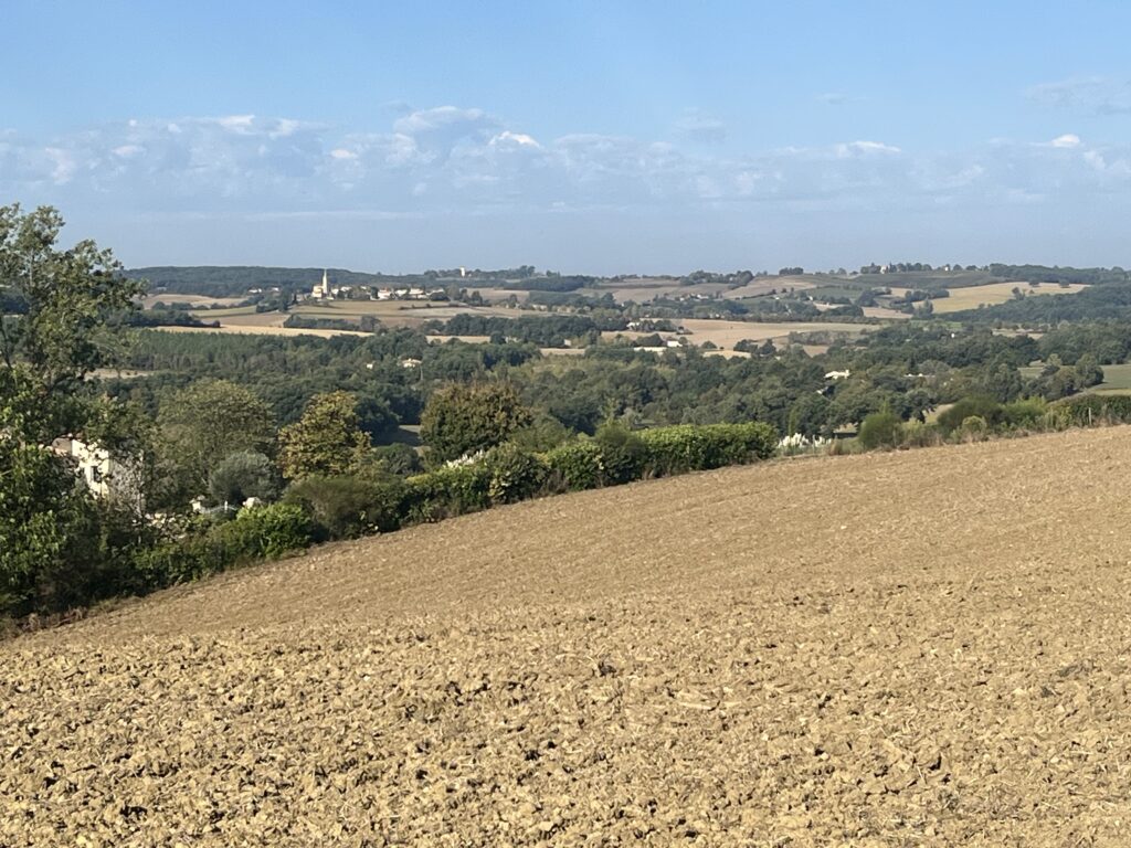
This morning, I passed through any number of tiny villages that were little more than two or three houses. Much of the morning was spent walking through seemingly endless farm fields, horizon to horizon.
I walked for a while with Elise, a young French lady who shared our gîte in Auvillar. She recently earned a doctorate in anthropology in Sweden, and she’s walking to Santiago to work out what to do next. Good conversation.
At about 8:20, we passed field of sunflowers in full bloom. Simply beautiful, and such a stark contrast to the golden browns and greens of the endless fields.
At about 8:50, I stopped for a coffee in the village of Marsolan, hoping that Jacopo would catch up. Elise continued on, after making her visit to the local church. I’m sure we’ll meet again.
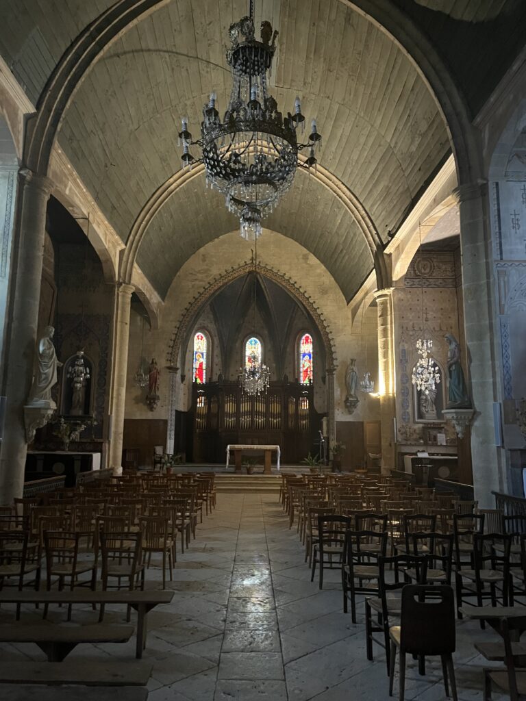
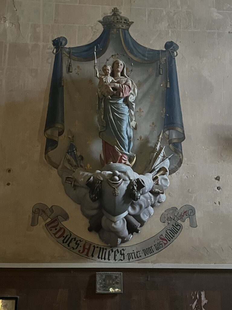
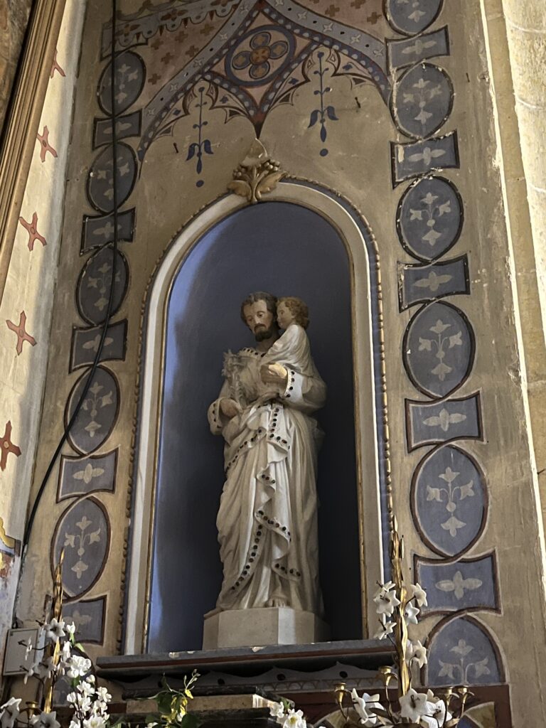
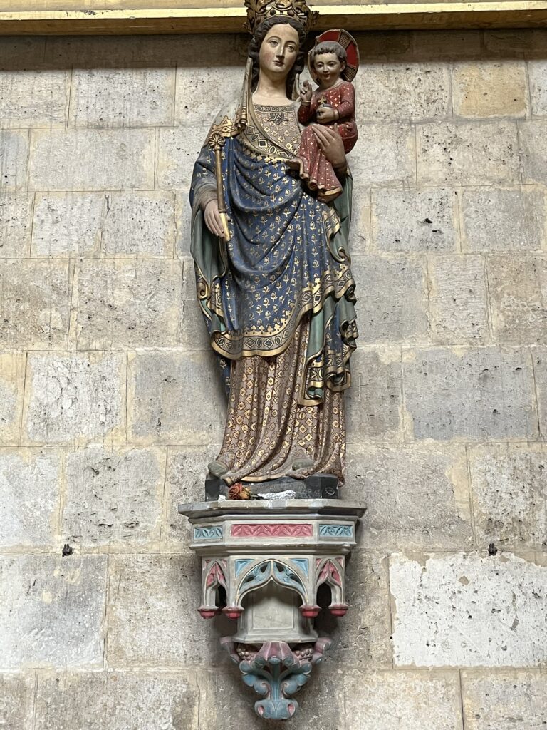
The Village Church, dedicated to the Holy Rosary, is of relatively recent construction. It features something I’ve hadn’t seen yet in a church in France: an organ in the sanctuary behind the altar. I was particularly struck by a side chapel dedicated to Our Lady of Sorrows, with an unusual piéta statue. After praying there a while, and with no sign of Jacopo, I put up the umbrella and started on my way. I spent entirely too long in the village, of course, but there was no help for it.
I topped off my water bottles, and I sent Jacopo a text pinpointing the start of the alternate route that we had planned on yesterday. Hopefully he will receive it, as it cuts about 6 to 8 km off of what would otherwise be another grueling marathon of a day, particularly considering the heat, which is expected to hit near 100° today. This “alternate route” is along a road named “Via Podiensis”, which indicates to me that this was the original pilgrimage route.
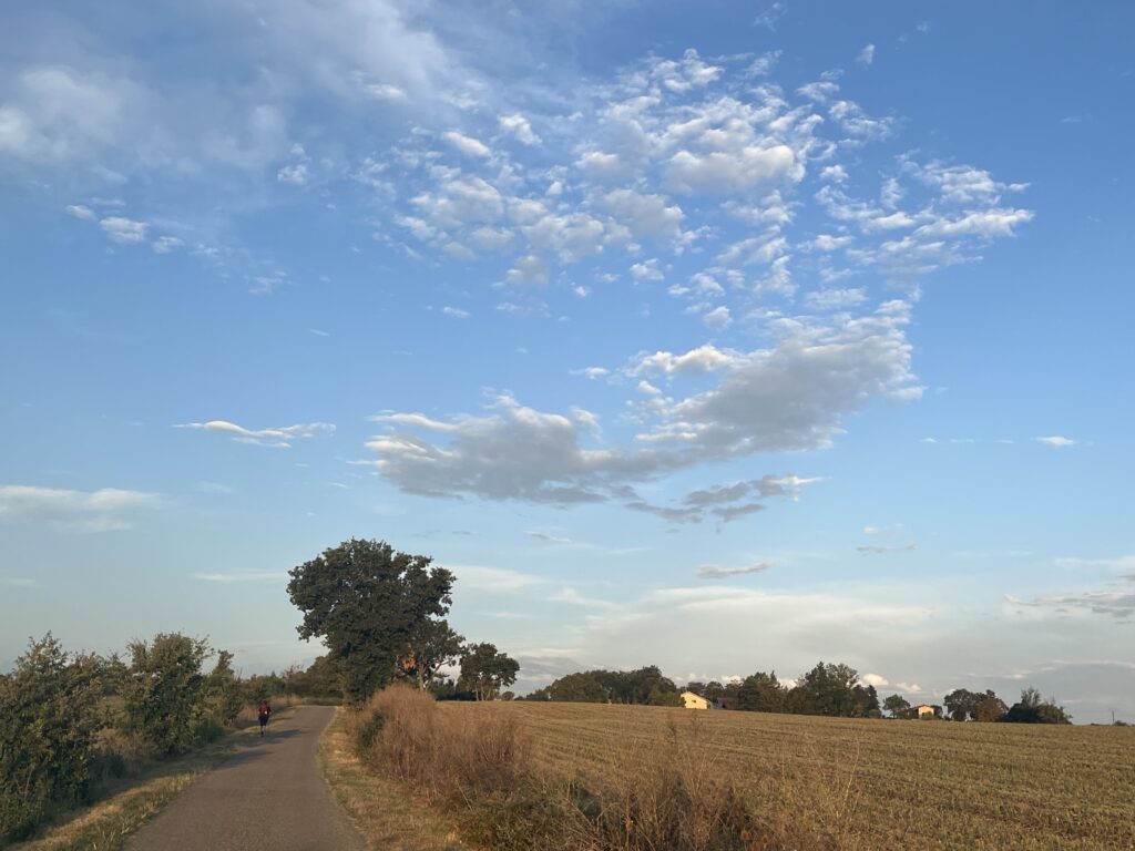
After the village, the Camino took me along the road down through a small woodland area and then back into agricultural land. By 9:30 AM, it was already hot, and I was again grateful for my umbrella. The path was mostly dirt, and sometimes even grass. There was some roadwalking, of course, but not as prevalent as in days past.
Although the Camino was still rolling from valley to valley, even those slopes seemed shallower and flatter than yesterday.
I passed a group of six French pilgrims, and I had a lovely conversation with an older lady who years ago had walked from Le Puy to Santiago, as I am now proposing to do. About 10:15 I came to the split in the road. They took the long road, and I took the short one.
Since the initial part of the alternate way was not marked any more, I had to pay particularly close attention to my GPS. This definitely slowed me down, but I was more than halfway and still confident that I would be in Condom by 12:30. This turned out to be a trifle optimistic.
I did get a little turned around at one point, ironically by an actual sign pointing the way to the route which I misunderstood as pointing down a gravel road, where it was actually pointing down a grass track near it. I was soon put to rights, and back on route.
And it was shortly after this that I saw my actual first GR 65 trail marker on this alternate route. It cheered me to no end. This rarely used alternate route was better way-marked than the main route out of Lectoure.
Along this route, which traveled more or less in a northwest direction, I passed any number of tiny villages of no more than a handful of houses and barns. For the most part, it was a white gravel road, smooth and flat. An absolute delight to walk on. There was, however, very little shade, and my only companions were grasshoppers and little lizards.
Just after 11 AM I passed a tree-lined road with some very impressive gates proclaiming “Domaine d’Orion”. No idea what it was, but it certainly made a statement.
There was a long stretch after this of tree-lined, shady road. I presently made a turn and crossed a bridge over a tiny dried stream with the impressive name of the River l’Auvignon. After this, I was properly in a forest briefly before returning to the more typical grass-covered track through agricultural lands.
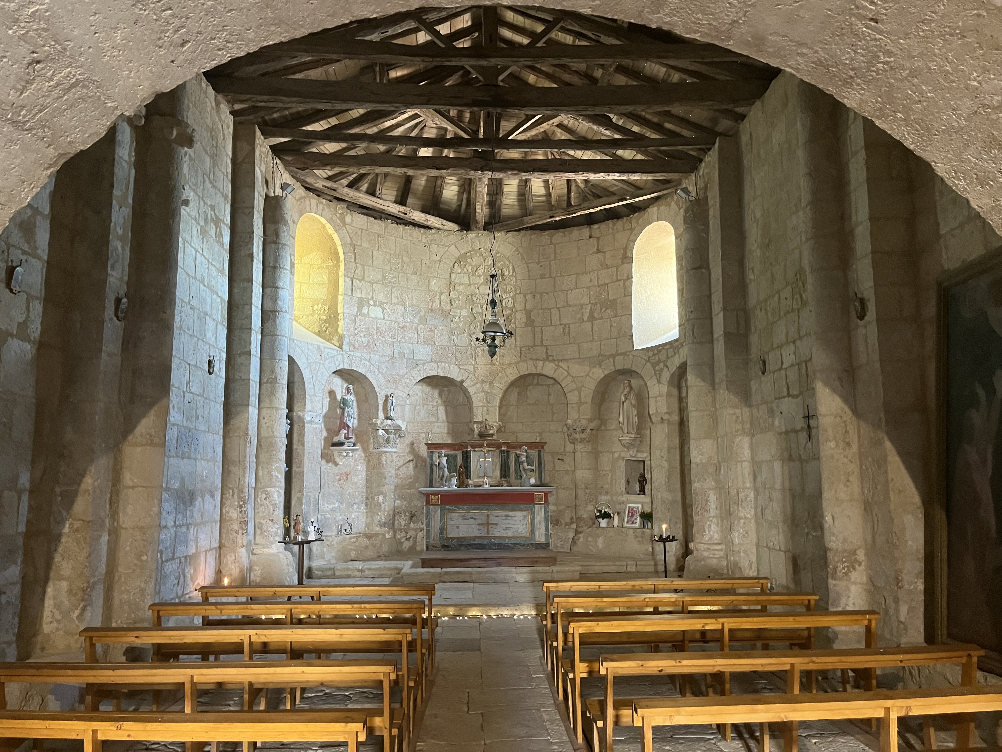
At about 11:30 I reached the chapel of Saint Germain du Baradieu, and I realized to my utter joy that I was back on the main Camino Route. After visiting the little chapel, I took a brief repast of dried fruit and cookies, refilled both water bottles, and dampened my neck buff to help beat the heat. I was back on the road in fifteen minutes.
I estimated I was about 8 km from Condom, which would put me in the city within the next two hours. It was mostly roadwalking with vast agricultural fields to both sides of the road, although there was a pleasant descent and walk down a tree-lined dirt road for a bit.
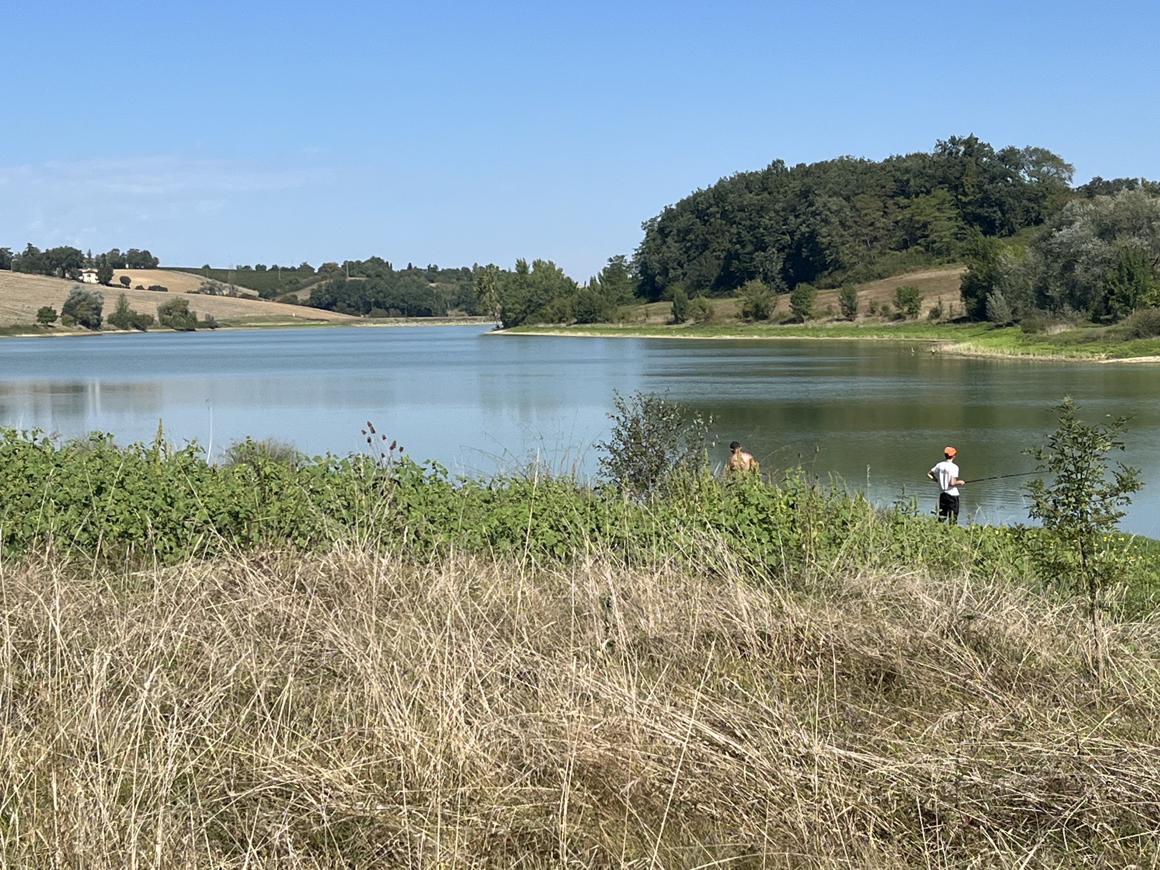
At one point I passed a lovely little lake with several folks fishing from the banks. It looks like the lake is maybe a foot below it’s normal depth. Somebody was barbecuing, and man did it smell good!
As the Camino was leaving the lake shore, there was a sign announcing that we were now entering a subdivision of the Gers Department with some international fame: Armagnac.
As the day wore on, the umbrella continued to be a lifesaver, though as in days past I continued to be plagued by heat rising up from the asphalt. It’s amazing how much cooler was walking on the grass beside the road, when there was enough of it to walk on. Nevertheless, I made good time.
And for the first time on this Camino, I passed vineyards. The first of the suburban houses started shortly thereafter. At about 12:40, I spotted the city itself in the distance.
Much of the final approach into the city was on gravel or stone. I had hoped to attend an afternoon or evening Mass in the city, but there was a sign along the way with posted Mass schedules that indicated that this was not possible.
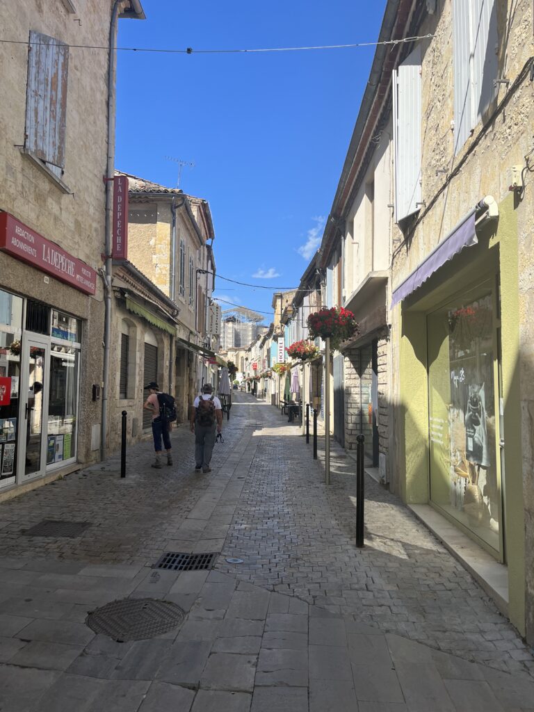
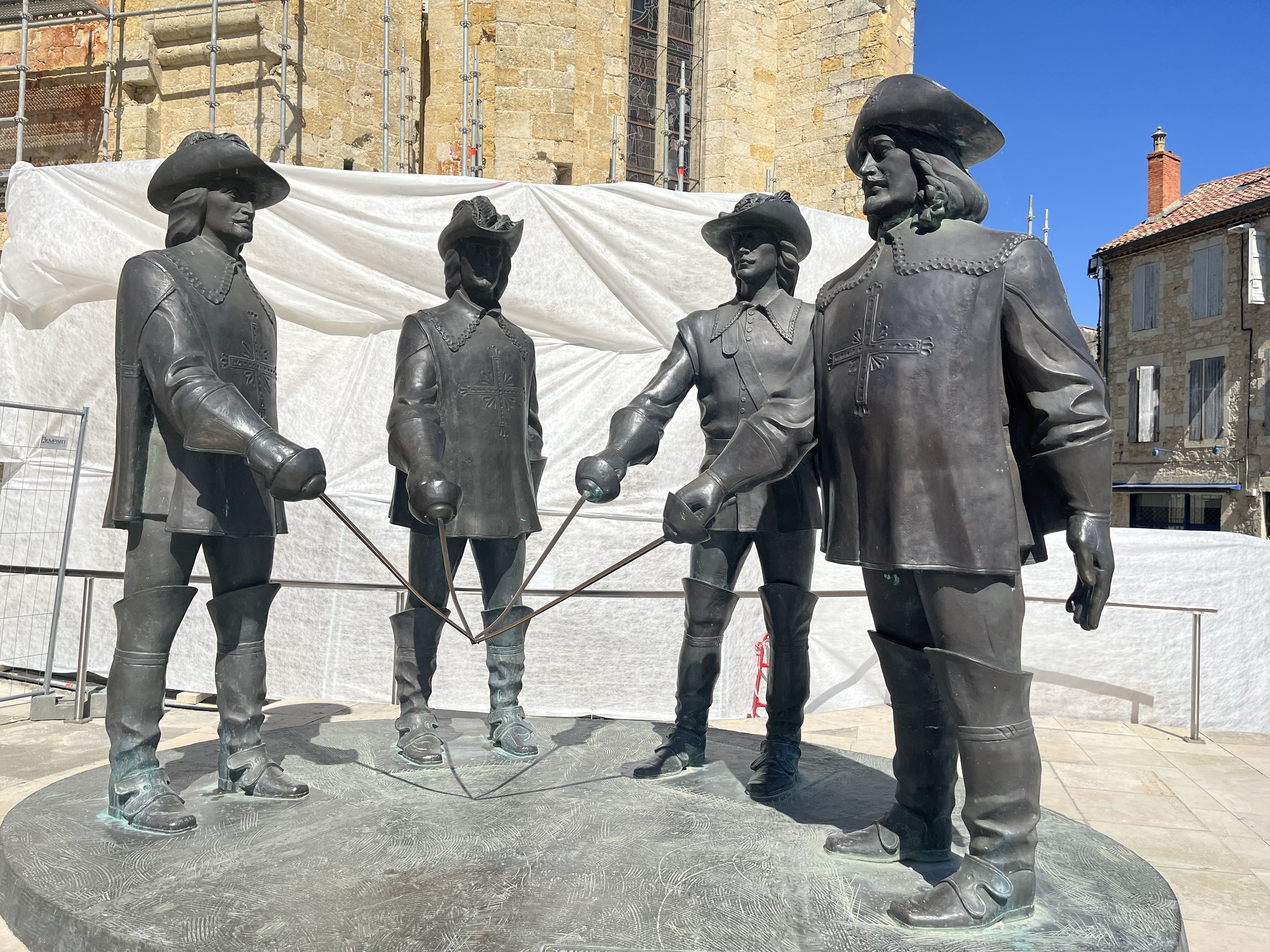
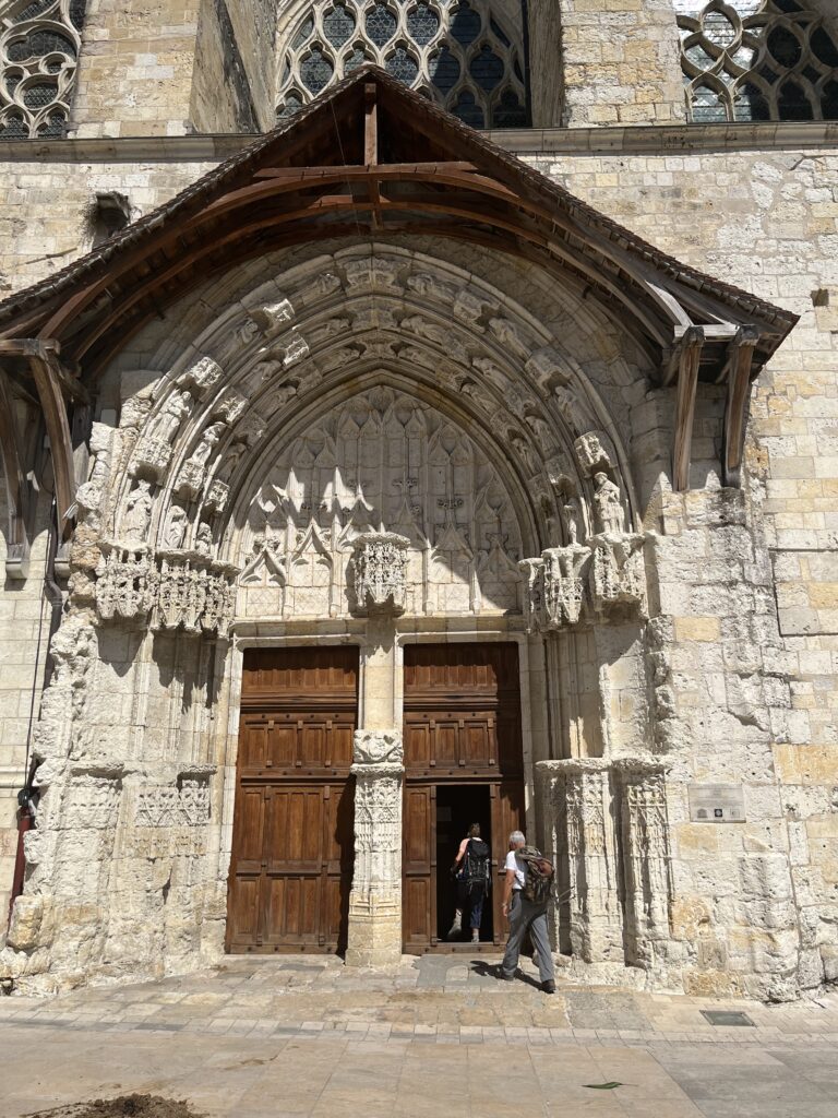
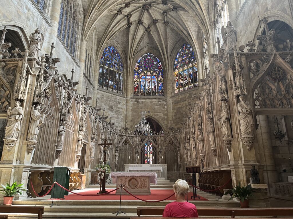
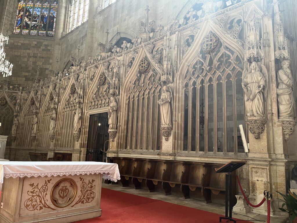
I entered the city as the bells were still tolling one o’clock. As the Camino entered the narrow streets of the center city, I took the umbrella down. I arrived at the Cathedral at about 1:20 PM. After the obligatory photo with the four musketeers, I went inside.
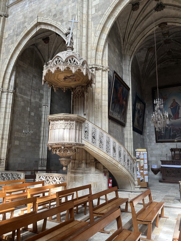
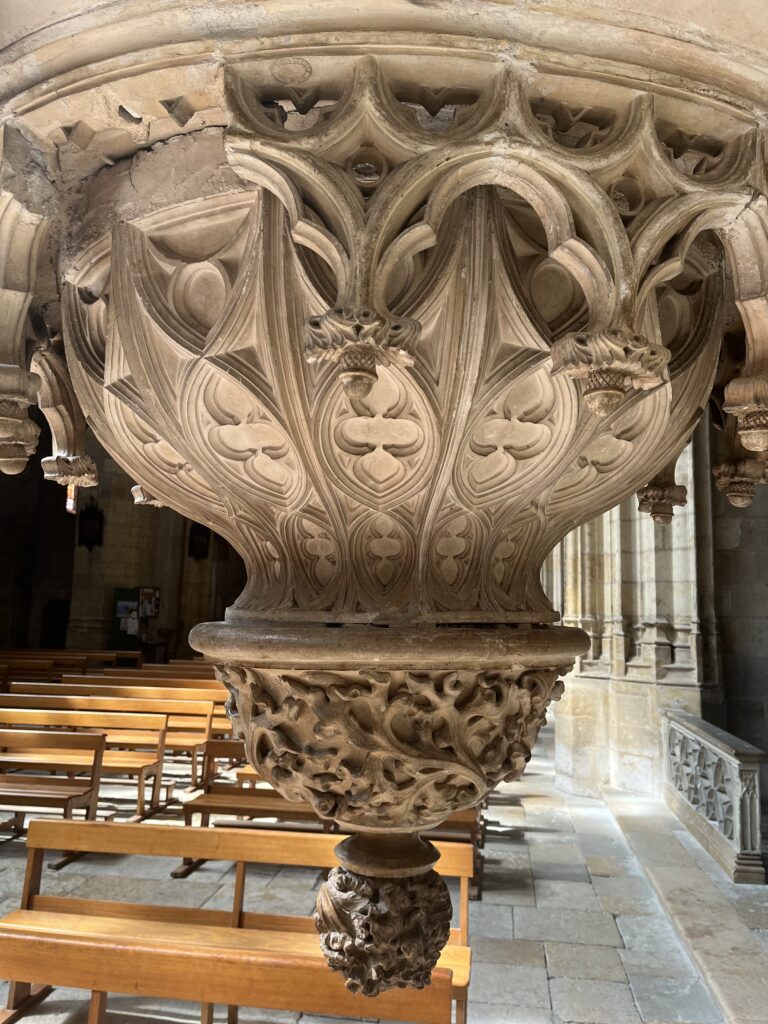
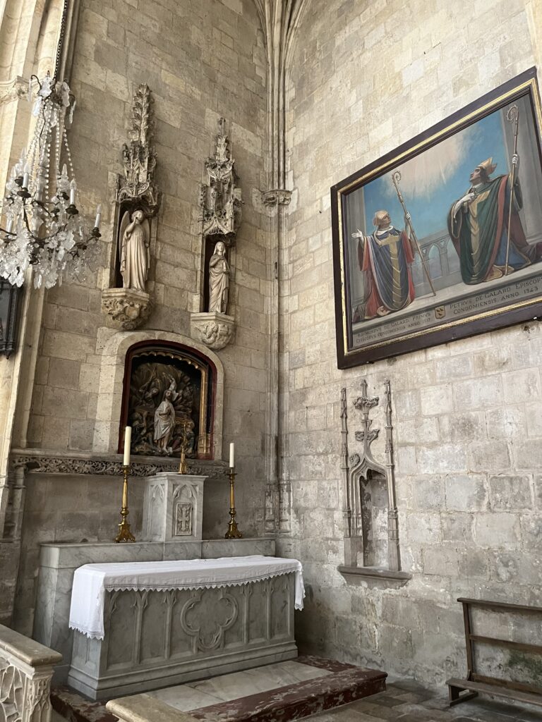
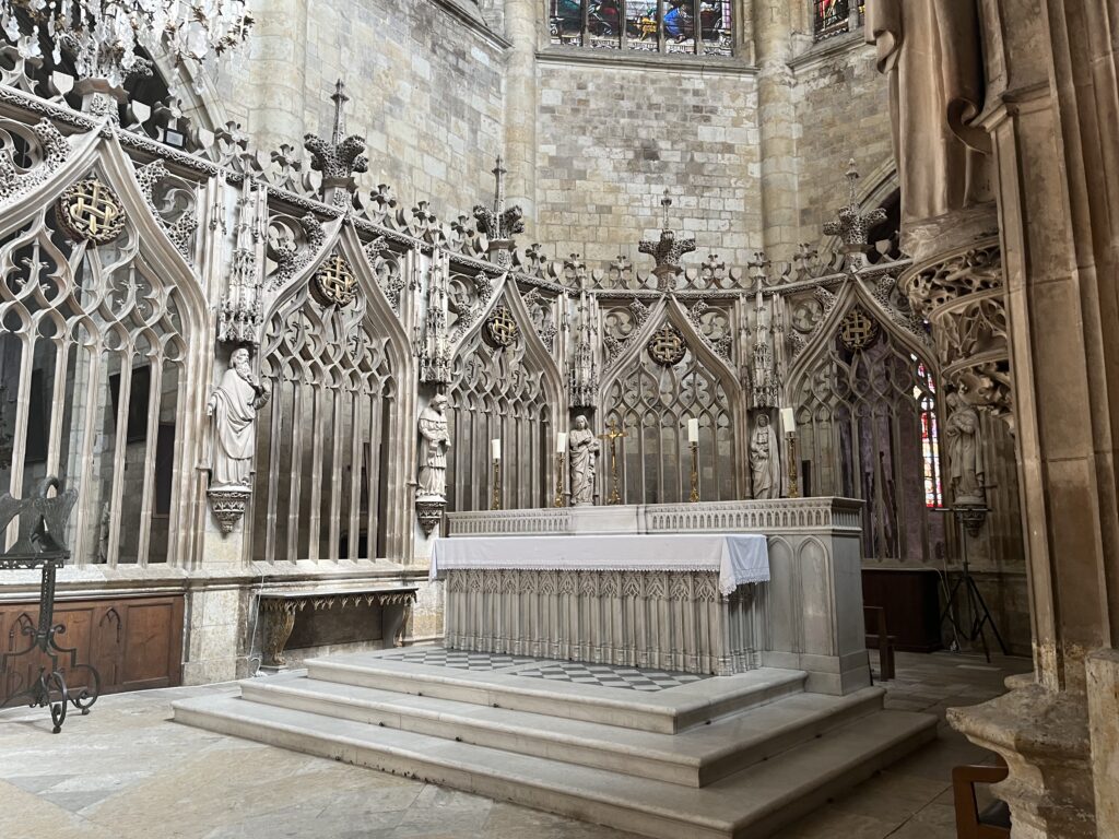
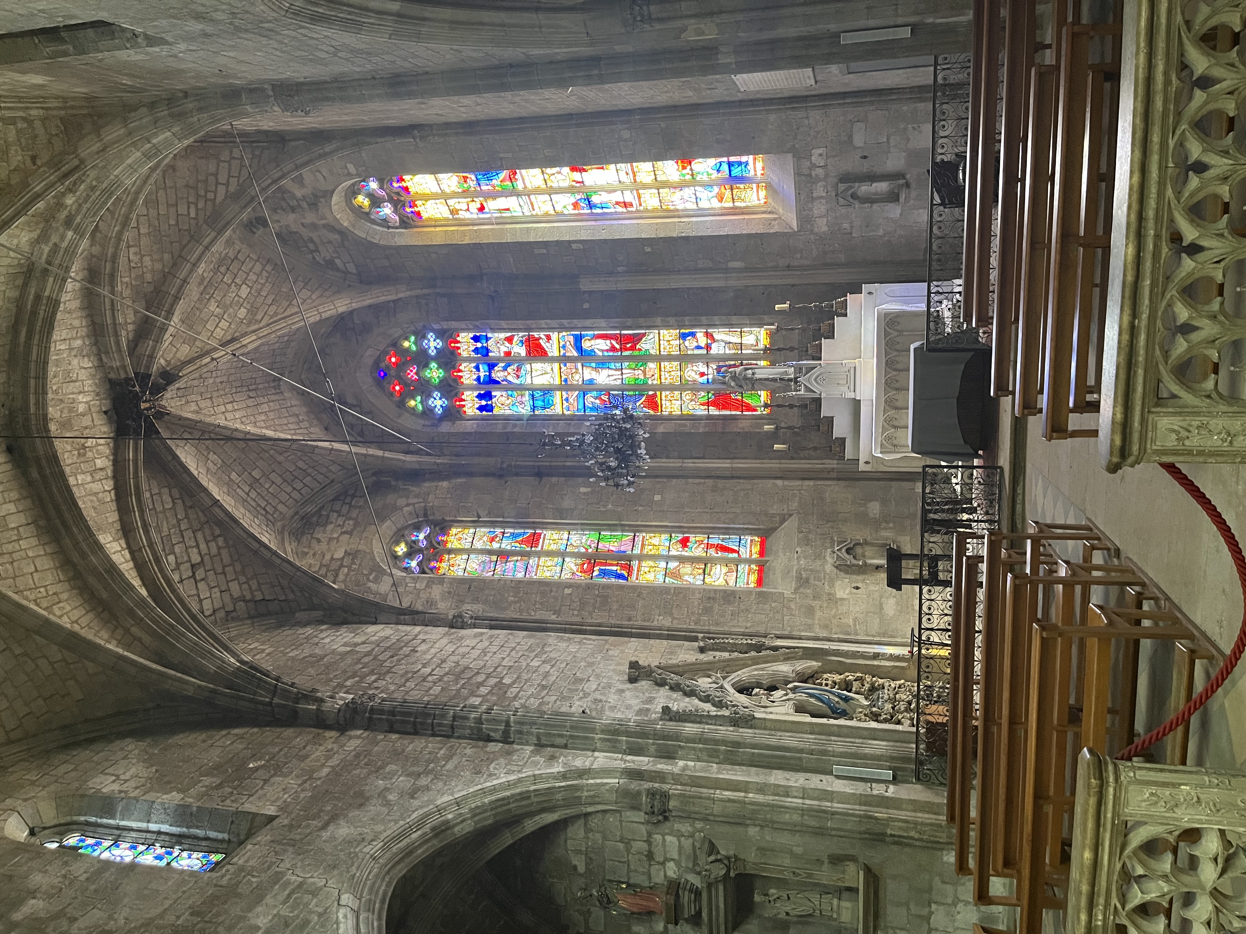
It is a master class in Gothic architecture.
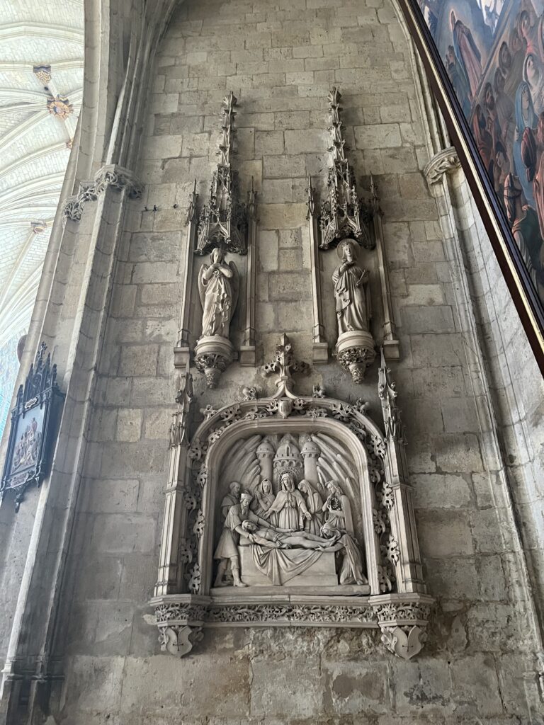
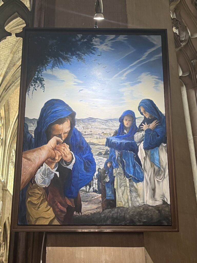
The numerous paintings are almost cartoonish, and interesting in their own way. Around the ambulatory behind the chancel, there is a series of paintings of the Stations of the Cross that are visually arresting. Many are painted from the point of view of Christ carrying His cross, and where this is not possible, from the point of view of a close eyewitness. There are two final paintings, not technically part of the stations, from the point of view of the empty tomb the show a church being built outside. The whole series is just amazing.
But the architecture! I am in awe of the design, skill, and talent required to bring this vision to fruition.
I came to the love of Gothic architecture somewhat late, perhaps only ten years ago after visiting the cathedral in Burgos. Prior to that, I was a 100% Romanesque guy. But there’s something in the stately exuberance of the Gothic that seems to me to represent well the liturgical character of a church building. Don’t get me wrong! I still love Romanesque, and I have come to appreciate many other styles as well. But for me, Gothic in its full flowering is the epitome and the apogee of church architecture.
And here in this cathedral, we see it at its flamboyant best.
Wow.
Date: 10 September 2023
Place: Condom
Today started: Lectoure
Today’s Photos!
“Domaine” is often nomenclature for a winery. Especially if it had fancy gates!
Ooh! Now I’m sorry I didn’t go in!