Via Lemovicensis: the Eaves of Lothlórien
Today was my latest start yet. Breakfast did not begin until 8 AM, which was fine as today was meant to be a relatively short and easy day.
I took advantage of the extra time this morning to contact some of the places I’d like to stay a few days out to see if I could book them.
I finally left at about 8:30 AM. Cool morning walking through this little artist village where everyone seems to sleep in. The layout of the town is so weirdly three-dimensional, it was difficult to find the route using the GPS. Eventually I got it sorted, and it wasn’t long before I saw my first Camino marker.
I have yet to see my first pilgrim, though.
I crossed a little bridge over the river leading out of town. This was followed by a series of steep uphills on the road. Today is going to be a little hillier than I have been used to so far. By the 1 km mark, I was already gasping.
By the time I got out of the valley and back into the relatively flat open countryside, I had to stop for a minute to catch my breath.
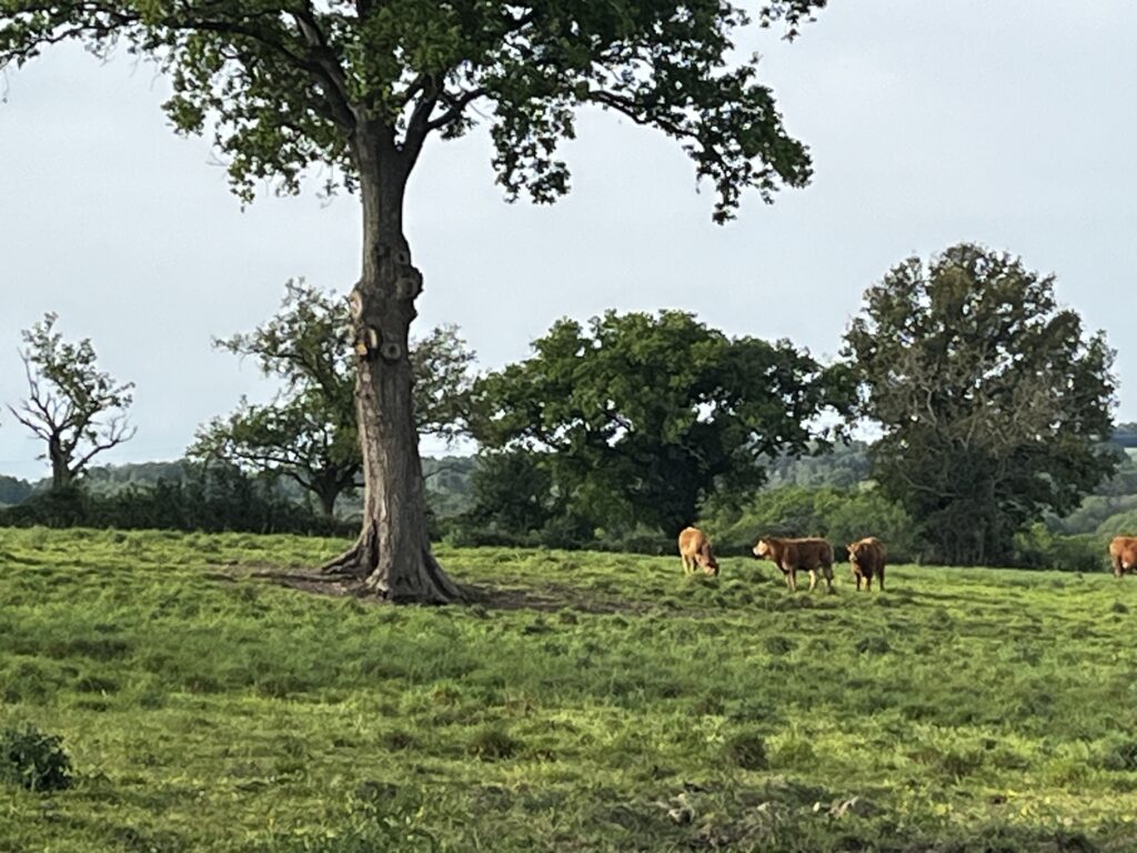
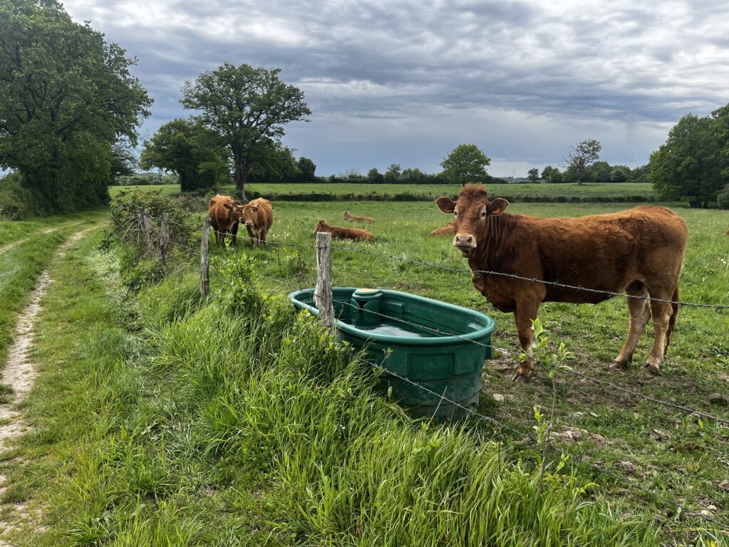
I was definitely back in cow country – I could smell them as I passed through the little hamlet of La Roue, which seemed to be more barns than houses.
At about 8:55, the Camino left the asphalt in favor of a pleasant dirt road into the open countryside. The dirt gave up pretty quickly in favor of grass. Amazingly, it wasn’t even all that wet, which pleased me immensely.
The Camino turned onto a firm gravel road as I entered the hamlet of Le Cerisier. Of the dozen or so houses I saw here, about half of them appeared to be abandoned, while the others are beautiful little country homes. Then, back to the asphalt road.
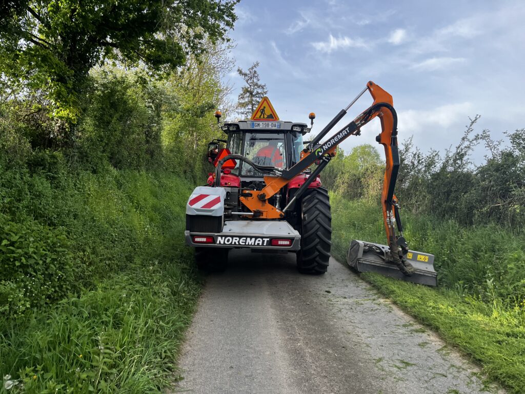
My pace was moderated by a very large vehicle in front of me taking up the entire road. It was mowing down the weeds and grass at the side of the road. I could catch up to it walking, but I could not pass it.
As we reached the hamlet of Les Chérons, there was a wide enough spot in the road that the driver stopped the vehicle and, smiling, waved me past. In retrospect, I wish I’d gotten a video, because that thing was amazing.
At 9:30, I walked through Les Moroux, which seems to consist of a house with two barns, a house with no barns, and a junkyard with a shed made of cinderblocks.
From here, the road descended steeply past a cow pasture into a wooded valley, before steeply ascending up the other side. At this point, I think I’ve had more hills this morning than I had all last week.
The woods, though, were deep green and gorgeous, and the sheer volume of the birdsong was impressive.
Then it was down and up again into the village of Cuzion where I arrived at just after 9:45 a sweaty mess. You know it’s a hillside village when the sidewalks have steps.
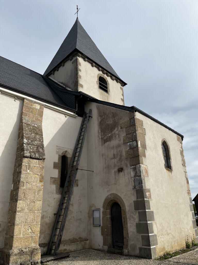
The village church was locked, so I set out to look for a café for a second breakfast. Unfortunately, I couldn’t find anything open.
Soon I was once more walking down a gravel road through the countryside. A gravel road, it must be said, with neatly mowed edges. It looks as though my friend had been through here earlier.
Just about a kilometer later, in the distance off to my right I spotted a broad castle tower. This would be the ruins of the 12th-century Château de Châteaubrun (castle of the brown castle?), which had I hoped to get a better view of later, as the Camino appeared to be heading vaguely in that direction. But for now, the Camino descended on a narrow, stony hiking path, once more into a wooded valley, and I never did see that castle again.
I was very much enjoying the variation of terrain after the flat farmland of the past. I actually had to take the tips off my hiking poles.
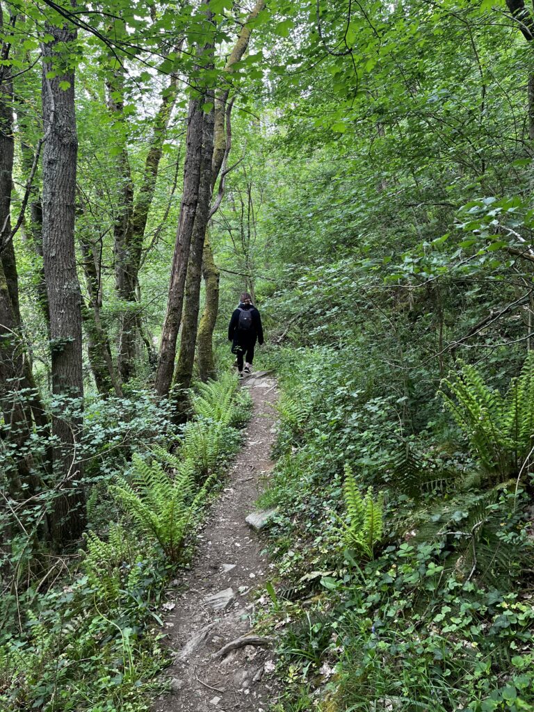
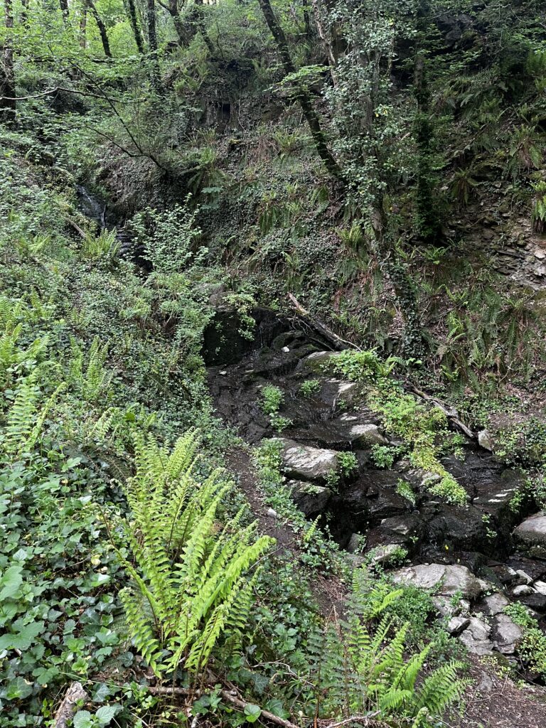
I met any number of French day hikers going with up and down the trail. Still no pilgrims, though. Towards the end, the trail went beside a tall but narrow waterfall, the kind you might see in the Cascades or Olympics.
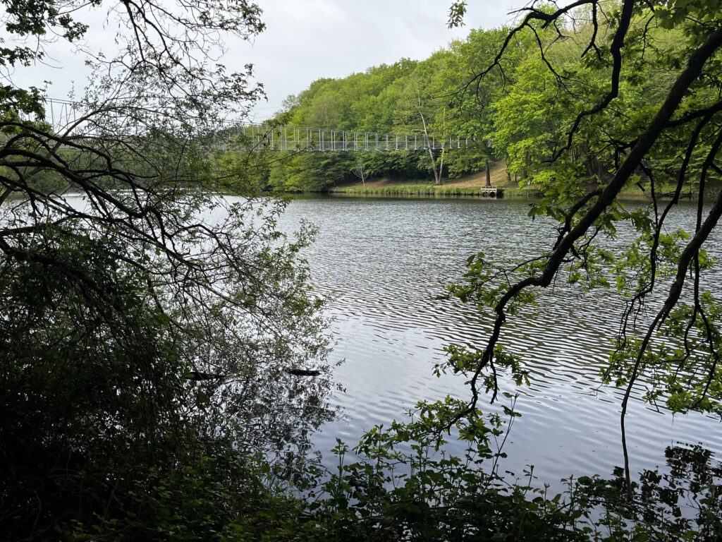
The trail eventually led me down to the wide and placid River Creuse. The Camino ran along its bank and under a pedestrian suspension bridge at the riverside hamlet of Moulin de Châteaubrun, which was really just a couple of gîtes and some cabins.
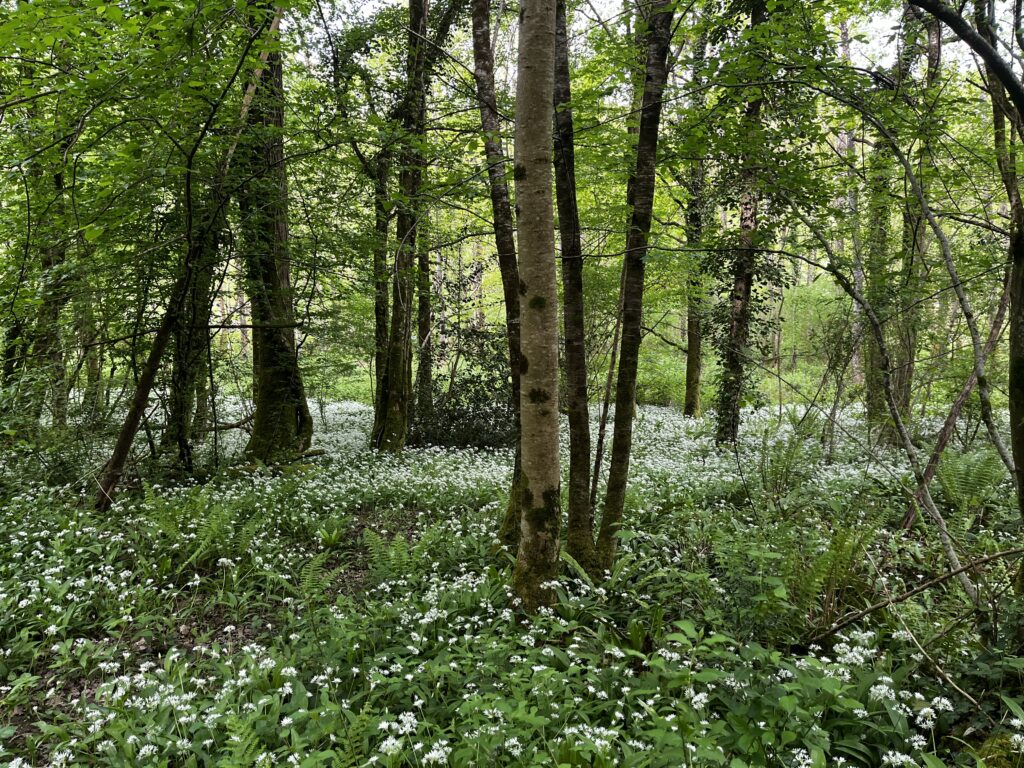
I continued along the river on a dirt road and then another path through the forest. The forest floor was covered in white flowers. The whole thing looked absolutely magical, as though I were walking through the eaves of Lothlórien. I think the Lord may be suggesting that I reread Tolkien again.
At several points, I had to scramble over trees fallen on the pathway. It was not quick going, but I wouldn’t have wanted it to be.
Eventually, the path brought me back to a wide dirt road that continued to parallel the river. At one point, I passed by a long stretch of trees that at first appeared dead, but as I look closer I realized that their spring leaves were just starting to bud.
At about 10:50, I reached the Pont des Piles. I left the woods and crossed over the river on the bridge. Just upstream of here, the river is dammed, forming a large reservoir called Lac d’Éguzon.
Now the Camino followed a busy two-lane highway up a series of deep switchbacks uphill. This was definitely my least favorite part of today. I swear there were vultures flying far overhead, but they were probably just the raptors I have been seeing the past few days.
In the middle of the final switchback, the Camino diverted up onto a fairly steep and obviously disused road. It was asphalt for perhaps a hundred meters before disintegrating into mostly grass and gravel. I far preferred it to the highway.
It eventually brought me back up to the highway and into the suburban hamlet of Eguzonnet, where I finally had the opportunity to remove my fleece. Here at least the highway was relatively flat and didn’t have any blind curves.
I followed the highway into the village of Éguzon, where I hoped to find some lunch. The town seemed to go on and on before I reached the center. I passed many large and beautiful homes.
I arrived in the town center at about 11:40 to discover that it was market day, though the vendors were already starting to pack up.
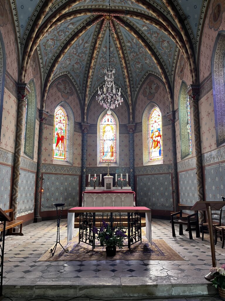
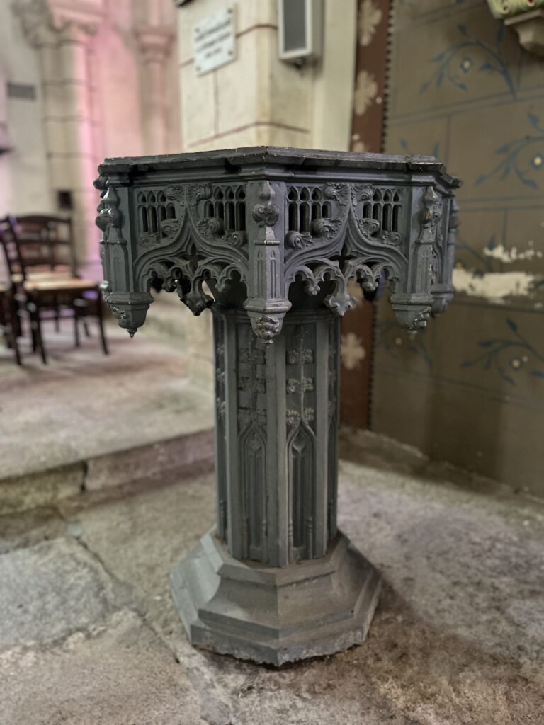
My first stop was the church of Saint-Étienne. The sanctuary and the Marian side chapel are painted in a 19th century imitation of the medieval style, and it is just glorious. The wrought iron baptismal font, also almost certainly from the 19th century, is a gorgeous piece of work.
The whole place had a homey feel to it, perfectly conducive to prayer.
At about noon, I ambled across the street to a crêperie for an Orangina and a crêpe. I spent rather longer there than I had anticipated.
It was after 12:30 PM when I left, and the temperature outside had dropped considerably. I actually had to put my fleece back on. Although the forecast had not called for rain, those definitely looked like storm clouds I was seeing.
The way out of town was considerably faster than the way in, and within 10 minutes I was already roadwalking in the wooded countryside.
After a couple of hills, the Camino turned off onto a rocky road, which led me into the hamlet of Le Pré Calé, which means something like “the meadow”. Other than one house, the rest of the buildings here appeared abandoned, but there was definite evidence of restoration work beginning.
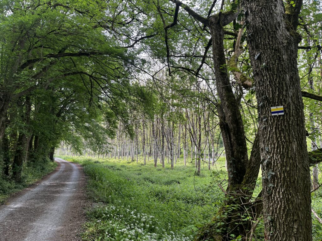
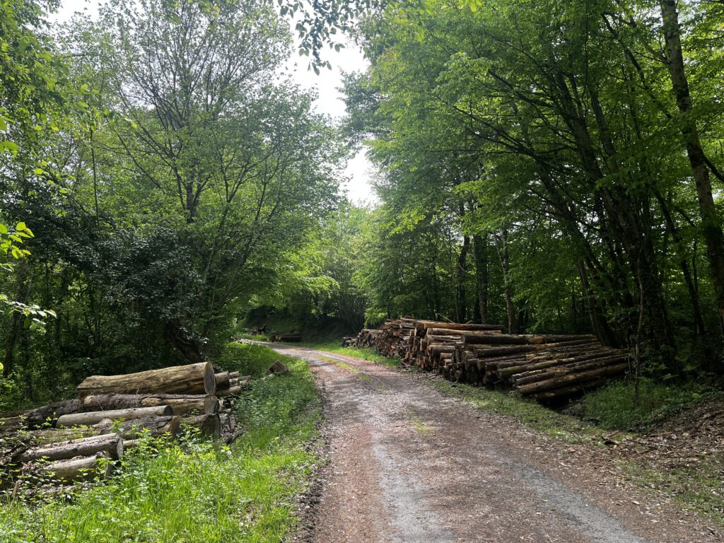
The road acquired a rough sort of asphalt and continued on through meadow and wood. As I walked through the woodlands, I saw plenty of evidence of logging. The stacks of timber went on for almost a kilometer, after which the Camino turned down a dirt road.
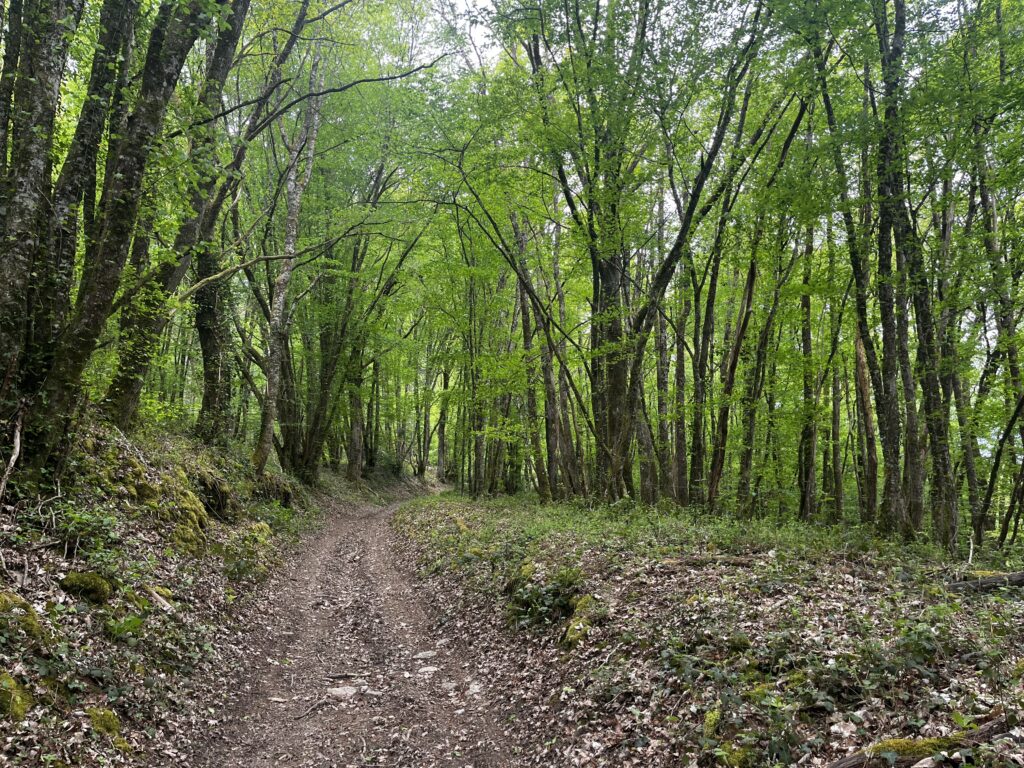
A very different forest from the one I walked in this morning!
But then, the road got distinctly less road-like and more path-like, at one point diverting into the woods to a foot bridge over a wide stream. Even after returning to the “road” the Camino route through the forest was wilder and more beautiful.
The hills were enough of a workout that I had to remove my fleece once again. I could hear the wind in the treetops, and I knew that if I were out in the open on flat ground again I would almost certainly have to put it back on.
At about 1:30, I passed through the hamlet of La Feyte. There was a sign describing some of the wildlife in the area; those birds of prey I’ve been seeing are falcons. I also noticed that vipers are indigenous to the area. Hooray?
The Camino was now a path through meadows teeming with delicate, yellow flowers. I saw a few cows, but not many. The Camino eventually turned down a gravel road. Even with wide meadows on either side and a chill wind, I resisted the urge to put my fleece back on.
By about 1:50, I was back to roadwalking on a single-lane blacktop, and then a muddy path, and then back to road walking, and then another path, and then back on the road.
I made several wrong turns in this section, which probably added a couple of kilometers to my day. In my defense, the signs were confusing and in a couple of places just missing altogether. Again, if I did not have the GPS, I would not have been able to successfully finish this section.
It got to the point that even in places where I was pretty sure of the path, I was still checking the GPS.
As I passed near the hamlet of Le Puy Baron at about 2:15, I was starting to notice sections of clearcut. Just about then, logging truck passed me. I was starting to feel a bit wobbly, so I had a snack of an apple and some cookies.
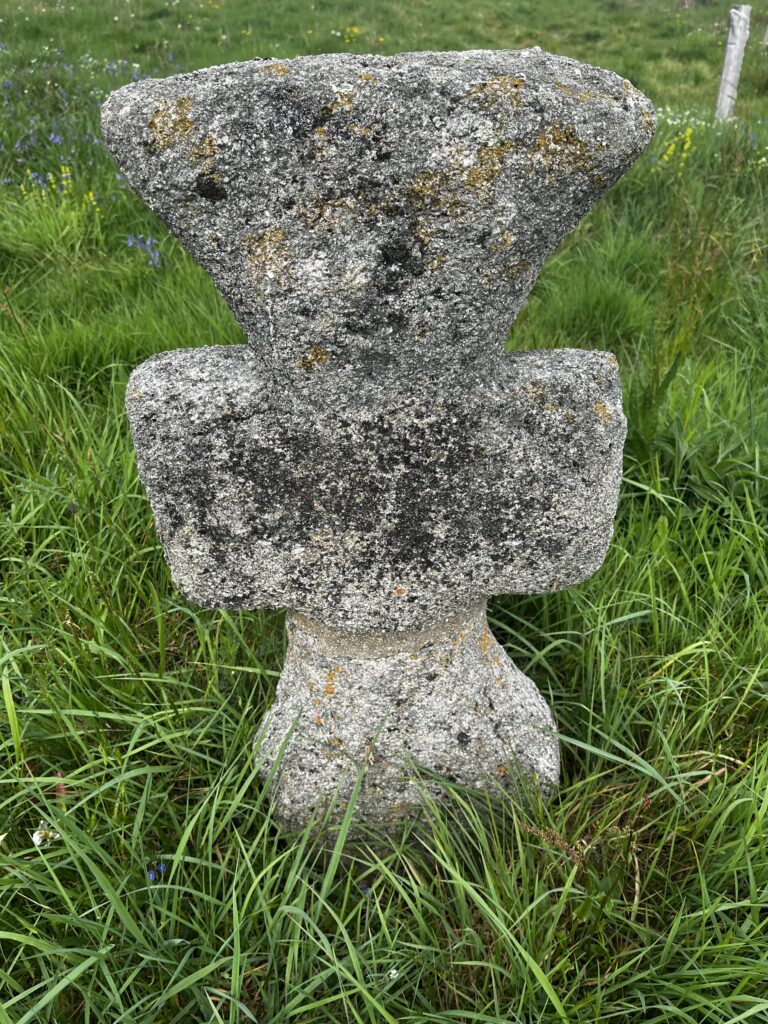
It was here that I saw my first Crozant Cross. They are stone markers standing perhaps a meter tall. The shape of the cross is very distinctive and, so far as is known, unique to this area. There are 51 of them all together, and their origin, date, and function are all unknown.
They typically have a small, shallow cup-shaped indent at the top. This one was just deep enough to stop my apple from toppling over.
At about 2:40, I walked through the hamlet of Vitrat. Many of the houses here had large, impressive gardens full of flowers.
Now it was switchbacks once again, as the Camino descended back down to the River Creuse. This time, however, it was a single-lane road with little traffic. Much better.
As I was walking down the switchbacks, a fighter jet tore through the skies overhead.
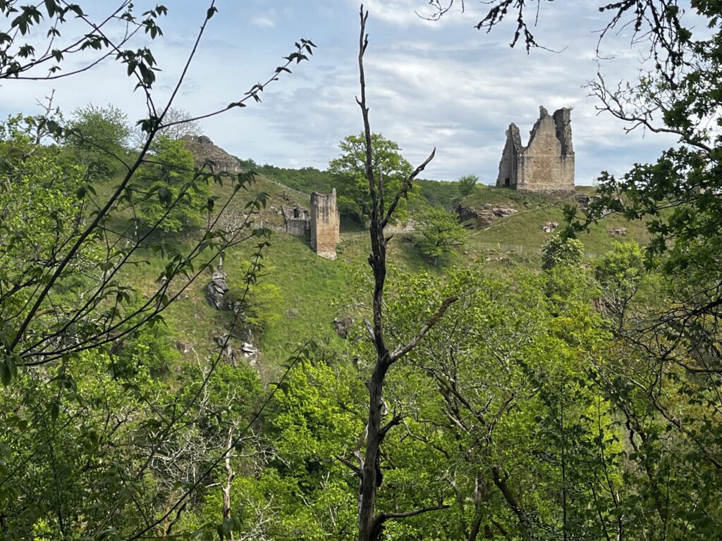
The road passed by a deep ravine on the left – almost a canyon. On the highland opposite, I could see ruins of what once must have been an extensive castle, but now looks like scattered shards embedded on the hill.
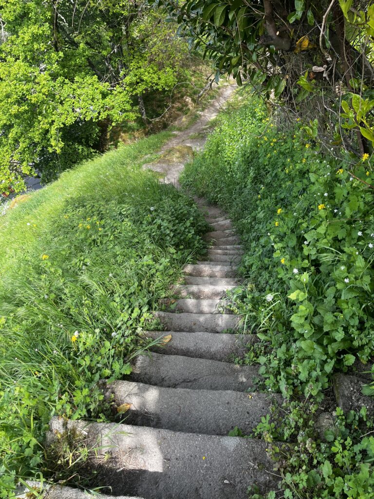
Minutes later, at about 3 PM, I walked into my stopping point for the night, the village of Crozant. It was another ten minutes before I was actually in the village center. This involved a steep scramble up a hillside, as the Camino avoided another series of switchbacks to get up to the town.
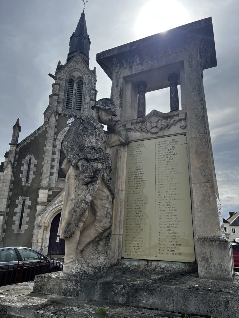
My first stop was the church, where I walked into the last minutes of a funeral. A lot of emotions, there. I stayed until the end, kneeling in the back pew and praying for the dead.
It didn’t seem quite right to visit the church right after that, so I decided to look for my gîte and return later. The gîte, as it turned out, was less than ten meters away. That was the good news.
The less good news was that it was locked, and there was nobody there. A very helpful local called the contact number for me, but it went straight to voicemail.
I had made my reservation through the town hall, so I figured I should head over there. Trouble was, it closed in about ten minutes, and the only street to get there from here was torn up with active construction work going on.
Just as the panic was starting to set in, a random fellow came over and asked if I was a pilgrim. I have very little French, and he had less English, but I managed to communicate that the gîte was locked and that I had a reservation. He walked me back over and unlocked the door to my profuse thanks in three languages.
Then he left. I have no idea who he was.
It was after 4 PM, and I was exhausted and in desperate need of a shower. So I took one of the beds and set it up, complete with paper sheets and pillowcase. A more complete change from last night could not be imagined. After all the things, I finally made it back up to the church at about 5:15 PM.
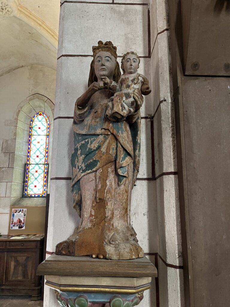
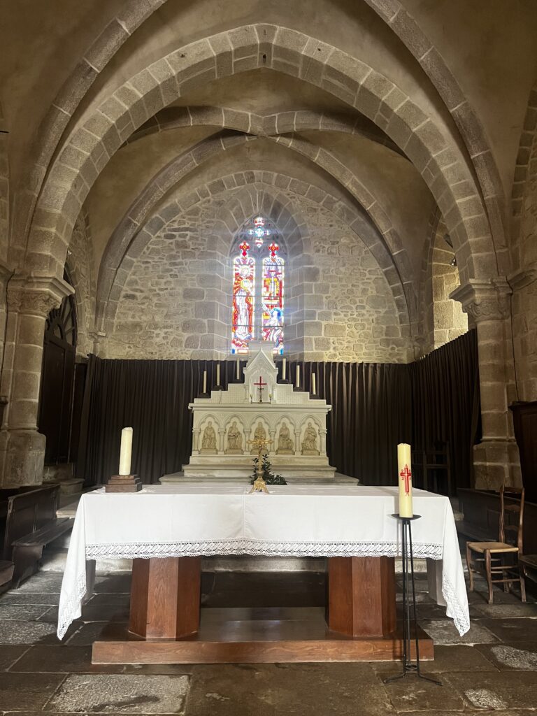
The church itself is plain enough, and the nave (which seems like it was built later and more shoddily than the apse) is in desperate need of repair and restoration. The apse, on the other hand, is in gorgeous shape, and the high altar is really quite handsome.
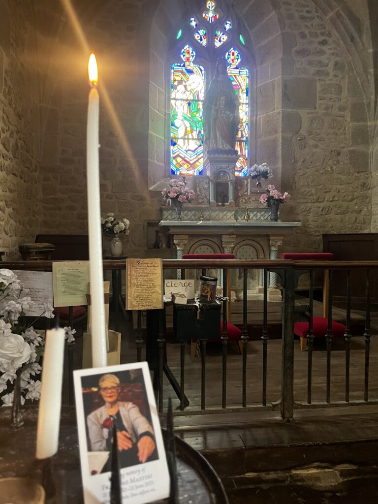
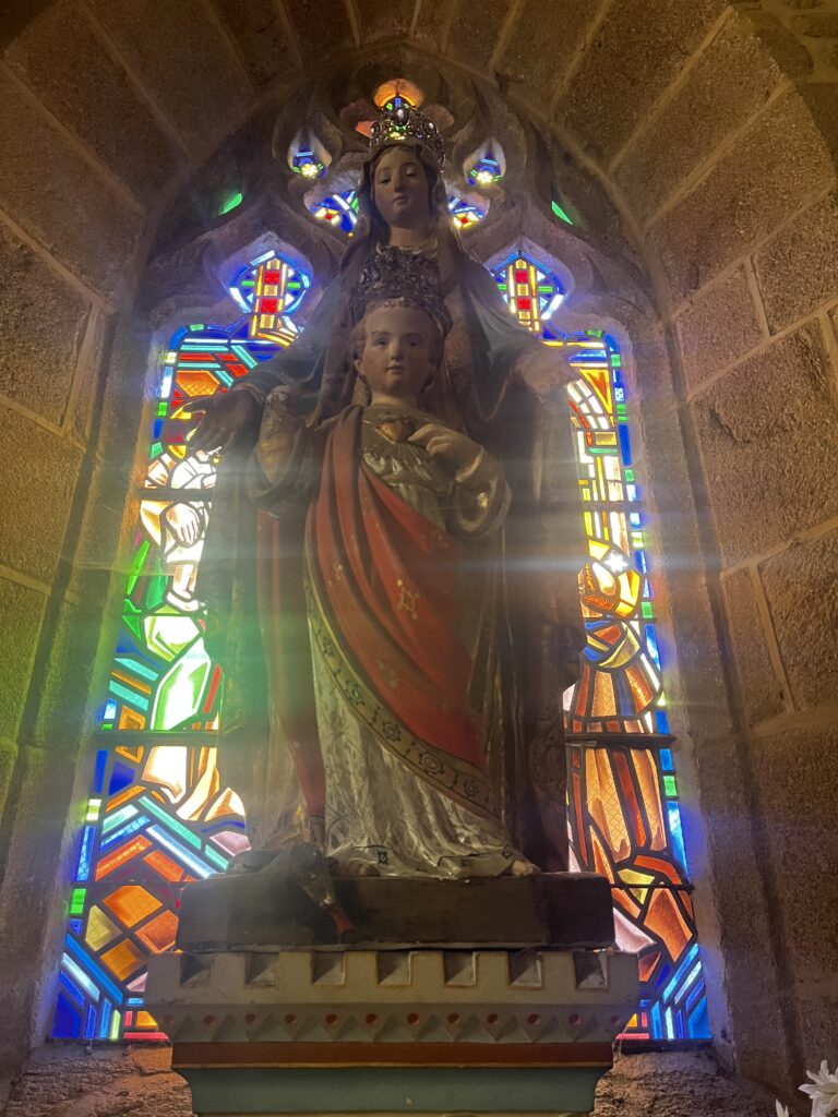
Where this place shines, though, is the one side chapel. It is Mary, of course, but the statue on the altar here is unlike anything I’ve ever seen. Virgin and Child, but not an infant – a young, standing Jesus showing His Sacred Heart. Both statues are crowned. It’s really quite something. I love this image so much.
Notre Same du Sacré Coeur. Astonishing.
I prayed Vespers here, and I lit a candle for Francine.
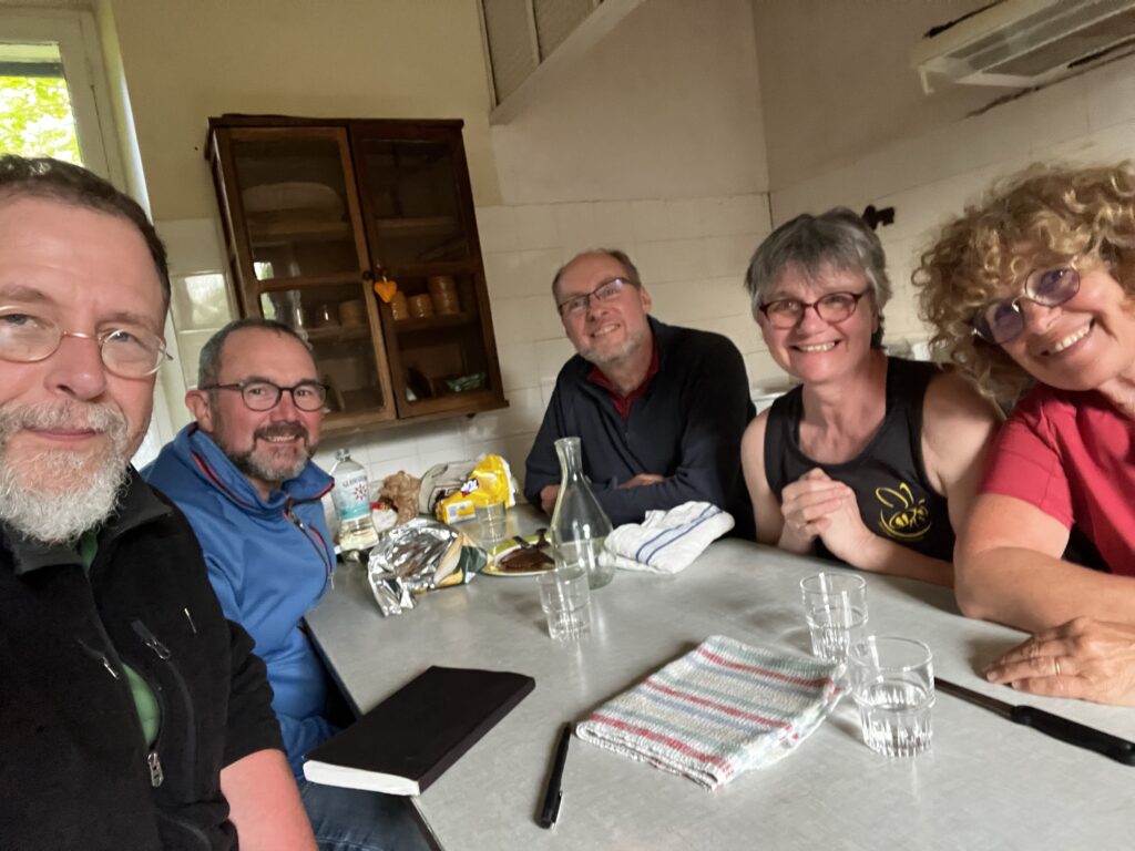
As I was leaving, I ran into two pilgrims, Daniel from Germany and Philippe from Belgium. I walked them down to the gîte.
And then two laughing French ladies arrived, both named Isabelle. Even I should be able to remember that.
We shared a meal together at the gîte, cobbled together with whatever food everyone had. Because, of course, the restaurants in this town are all closed on Wednesdays.
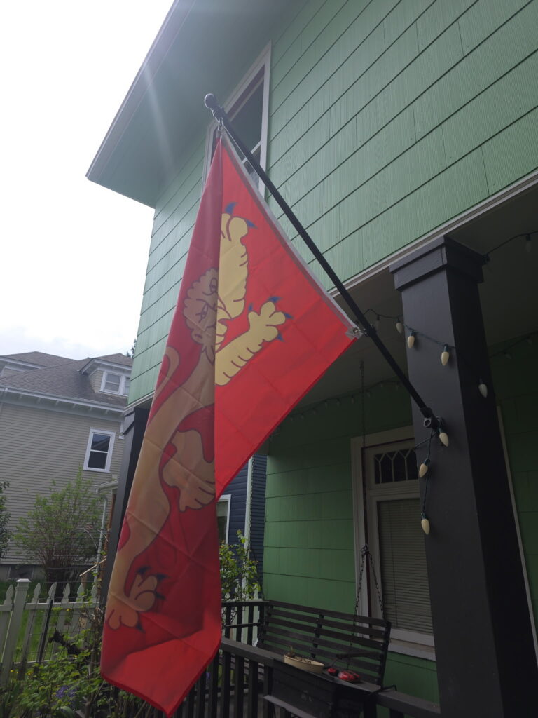
Today I entered Aquitaine, so the flag flying at Pistachio House has been changed.
Date: 22 April 2026
Place: Crozant
Today started: Gargilesse-Dampierre
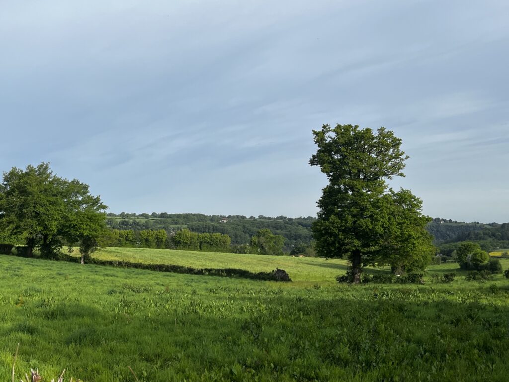
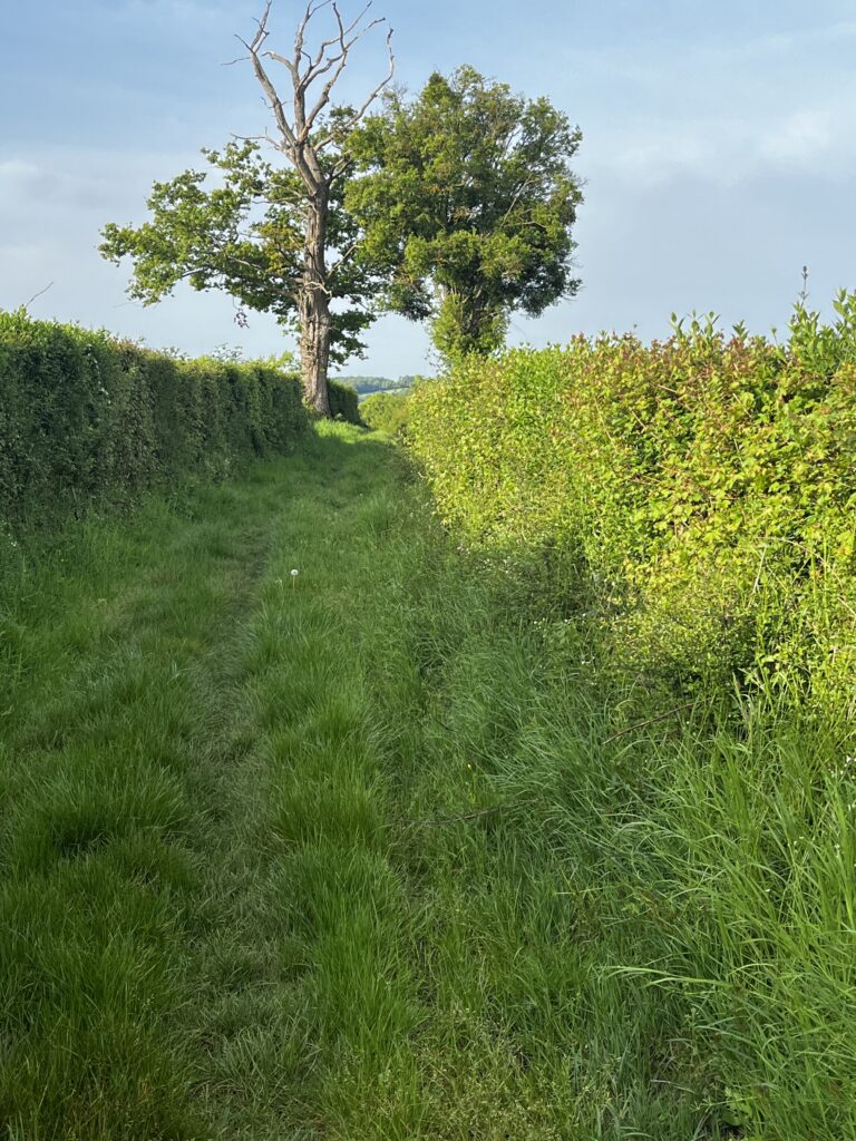
Today’s Photos!
This looked like a very tough day yet with a happy ending. Enjoy the scenery from afar however it looked like really tough hiking. You’re writing is very enjoyable to read.
It’s definitely getting hillier – the land is noticeably changing as I walk from one region to another.