Via Podiensis: It’s the Heat
Today was largely a walk from one river valley to the next. It ended up being the hottest day yet, and by the time I arrived at my gîte, I may very well have had heat exhaustion.
Once again, I started early. This time, I managed a sit-down breakfast of yogurt and pain au chocolat before leaving at just before 6 AM.
The Camino path out of town was easy enough to follow (partially thanks to a helpful local), and it led me down to the river across a medieval stone bridge, upon which was carved the image of a pilgrim.
On the other side of the bridge, things got a little dicey. I couldn’t find the trail markings in the dark, even with my flashlight. Fortunately I was soon joined by four pilgrims, two older German ladies and two younger French ladies.
One of the younger French ladies had a GPS app mapped to the Camino. Once I have bandwidth, I’m going to download it. It’s incredibly helpful in situations like this where you can’t find the trail markings.
The Camino went up a very steep rocky dirt path up to an asphalt road. Once again, there was confusion about which way to turn. And once again, it was GPS to the rescue.
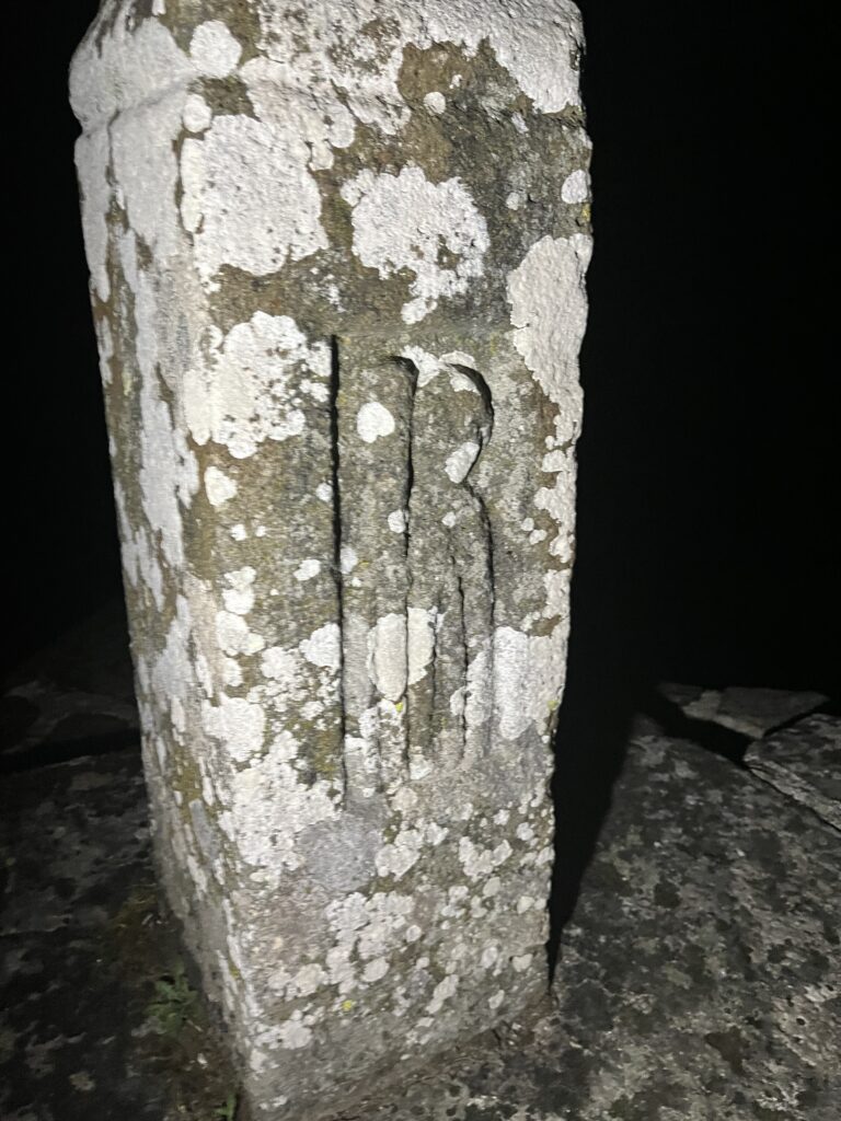
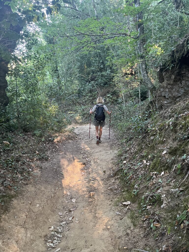
The asphalt still seemed to be radiating heat from the day before. Eventually, the path left the road and veered down into the forest. We need to send it into the dark on the path seemingly made of loose stones and tree roots.
Fortunately the paths soon smoothed out and flattened out. As the skies began to lighten, the woods seemed a great deal less ominous.
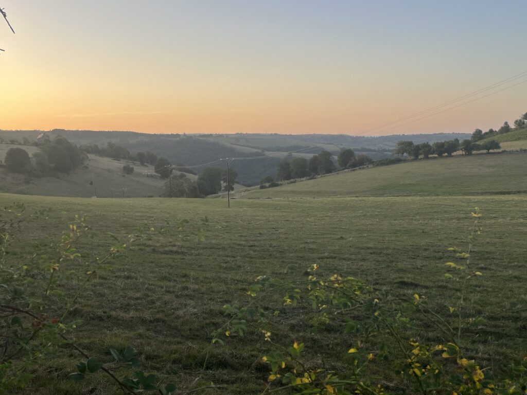
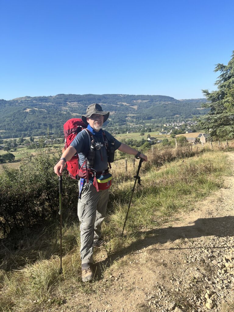
Far too soon, the smooth path became a rocky incline that seemed to go on forever. By the time I got to the top, I was a sweaty mess, but it was light enough that I could stow my flashlight. There was a beautiful view down the hill back down into the town in the early morning light.
At the crest of the hill, the Camino turned onto a little one lane blacktop. After passing a tiny village that I’m not even sure is on the maps, the Camino took a sharp left turn once more down a dirt path through the woods.
By this point it was nearly 7 AM, I was about 3 1/2 km into the day, and I had left my early morning companions far behind.
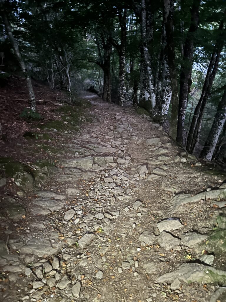
The trail continued to duck in and out of the trees, at one point becoming a gravel road, before returning to a one lane blacktop, now traveling through ubiquitous rolling hills populated primarily by cows.
I walked that road a long time. There were some spectacular views to my left, where the sun was rising. Finally, the Camino veered to the right down the by now ubiquitous dirt road that after the first curve degenerated into rock and rubble.
The trail eventually improved to packed dirt, and it continued to duck in and out of the forest for several kilometers.
Along the way, I met up with a lovely Italian family that I have been meeting on and off for several days. In fact, I had dinner with them last night. We walked together for a while.
Luca is a cardiac surgeon, and his wife Selene speaks English with a Midwest accent. Their college-aged daughter Maria is studying hospitality and has nearly perfect English. They are walking with their little white dog Lili, who very much reminds me of Tintin’s dog Snowy.
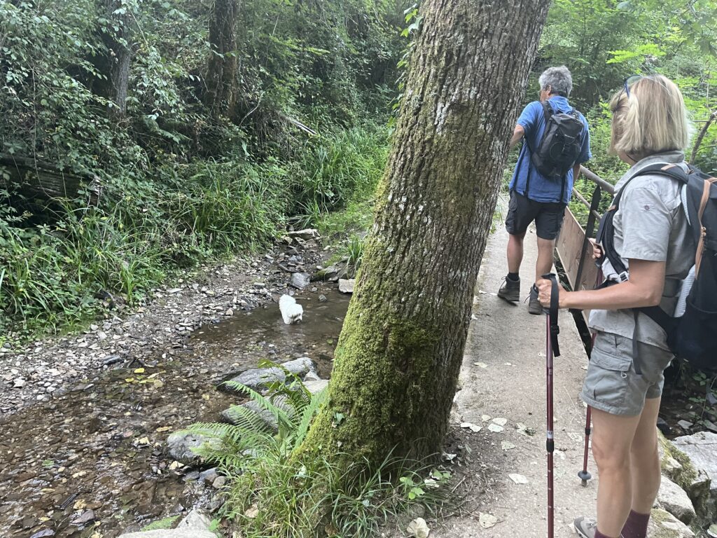
We faced a treacherous, rocky descent culminated in a little stream. Lili immediately took the opportunity for a bath, but the rest of us crossed over the bridge.
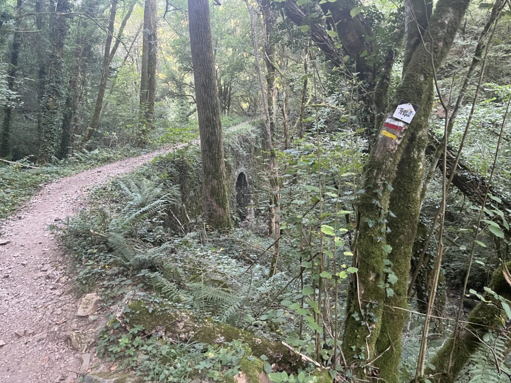
Oh after a brief foray onto a road, the path plunged back down into the woods this time following the stream for a while. At one point we crossed over it on an arched stone bridge.
After another brief foray on asphalt, we were on a dirt path once again, this time inexplicably climbing steeply uphill. it was after 9 AM, and the heat was definitely setting in. Mercifully, there was a small village at the top with a water fountain.
Then it was back to roadwalking for a bit: first asphalt, then broken asphalt, then gravel, and finally to a narrow path of dirt and stone. Around us, the land transitioned into scattered woodland and pasture and finally full forest again as we resumed our descent into the valley of the Lot River.
After a short rise, we were suddenly now in open pasture land again, this time walking along a dirt road which eventually transitioned into gravel, and then asphalt, before once again becoming a dirt and stone path.
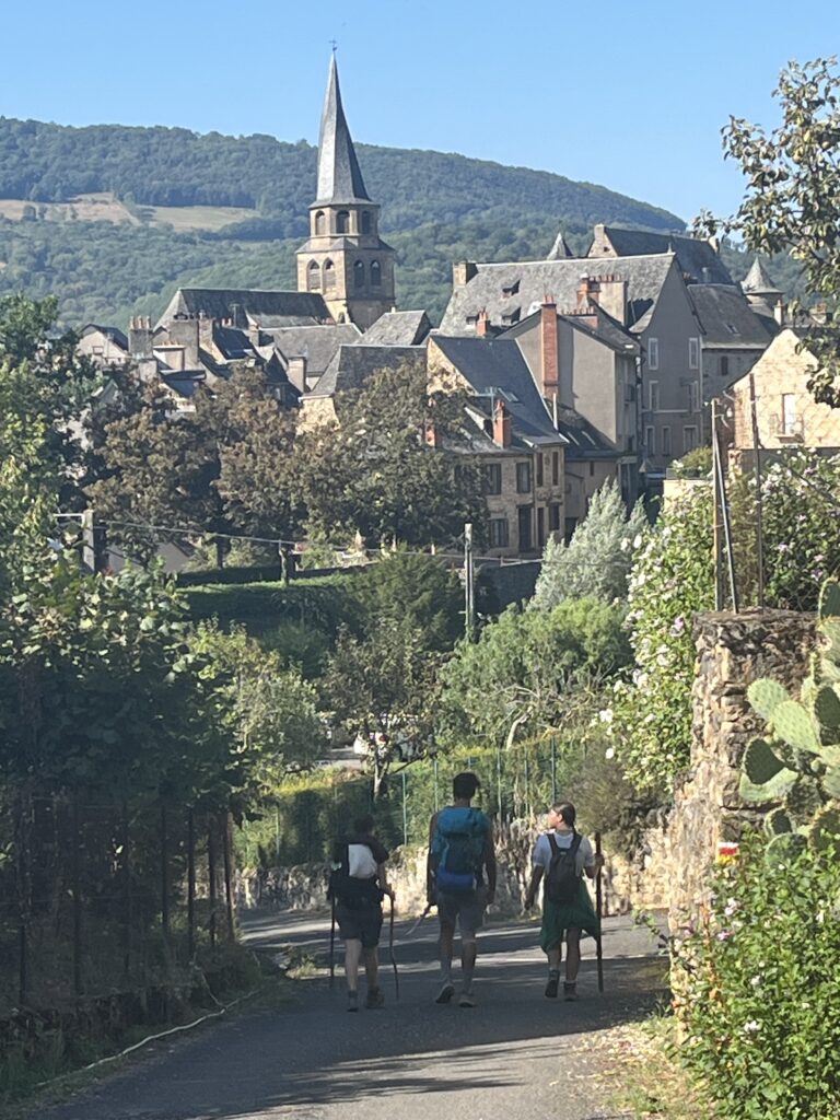
There were houses now, on one side of the path or the other, the outlying houses and farmsteads of the rather large village. The houses grew more frequent, almost suburban, as the Way transitioned once more to asphalt road.
At this point, I had outpaced Luca and Selene, after being behind them all day, and I had caught up with Maria, who was walking with a couple who had been my roommates last night, Loïc and Irene from Spain. Loïc owns a bar in Valencia, and Irene is an engineer.
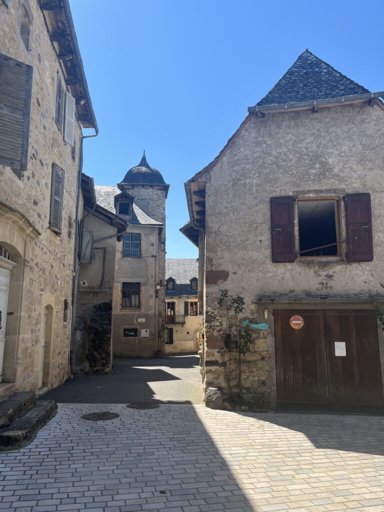
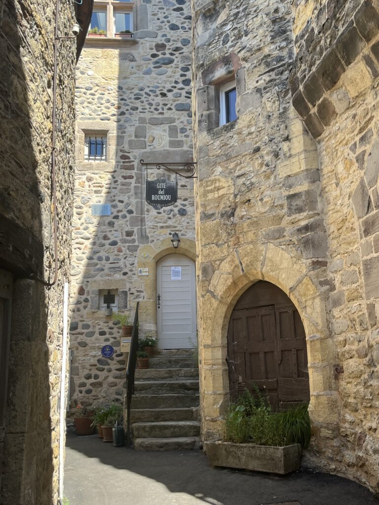
Together we walked into most beautiful village in France.
We found a shop, and they got something to eat. I got the now traditional Orangina and ate out of the cache of my supplies. Luca and Selene caught up, and we all had a sort of picnic on benches in a little square nearby. The Italians were pushing on further today, so we made our sad goodbyes.
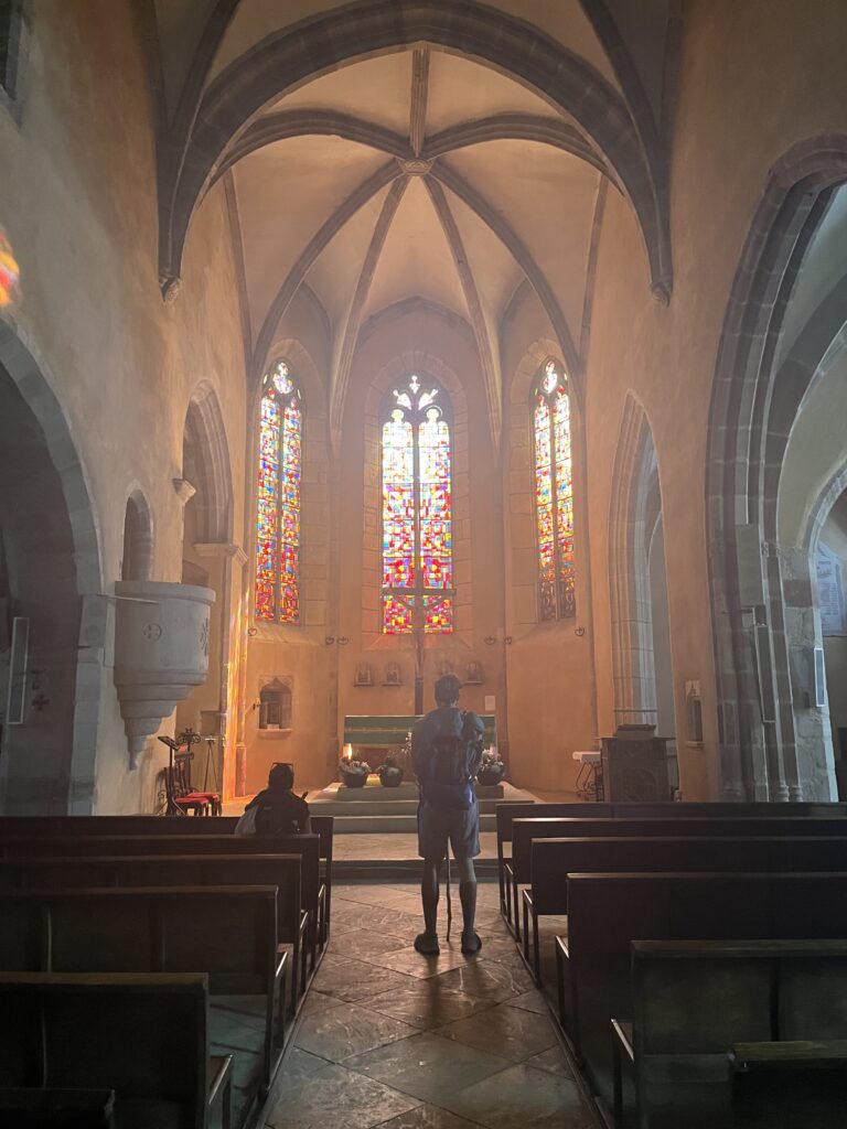
Loïc, Irene, and I visited the amazing village church with its twisted spire, before they too had to leave for a town further down the road.
This Camino route, perhaps more than the others I’ve been on, seems to be full of goodbyes.
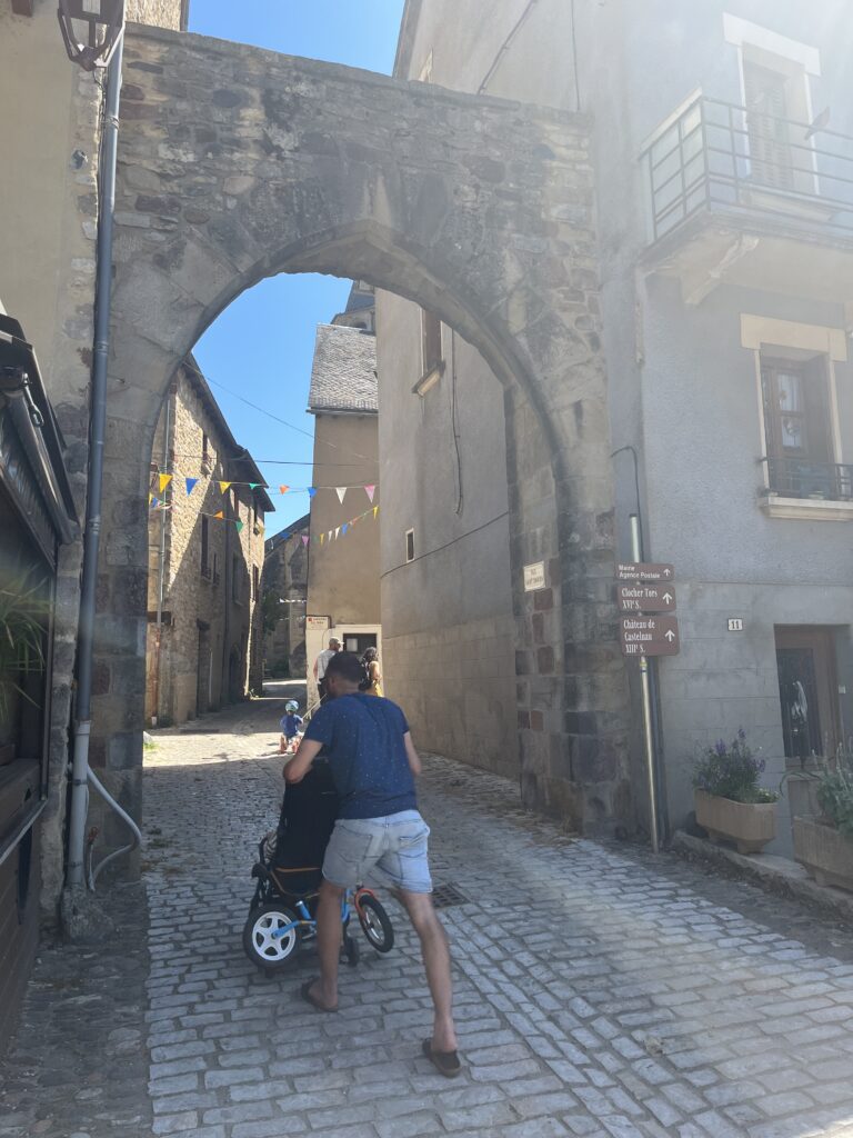
After dropping off my gear at the gîte, which wouldn’t open till 3 PM, I set about to explore the town. This is truly an amazing little medieval village, seemingly unchanged except for the addition of electrical wires and lights in the occasional asphalt. The streets are a crooked maze, and tiny little alleys sprawl off in every direction.
It was by this time brutally hot, 96°, and the shade wasn’t helping much. So I went back to the church to cool down, pray, and collect my strength for about an hour before heading out again.
I didn’t make it very far before returning to the shady courtyard near my gîte to wait for it to open. Fortunately they let me in early, so I’ve showered and done my laundry. And then I took a nap while waiting for photos to upload. Time to hydrate!
Date: 24 August 2023
Place: Saint-Côme-d’Olt
Today started: Saint-Chély-d’Aubrac
Today’s Photos!
After a few of your earlier “Where is the Camino?” posts, I wondered why there wasn’t a “map the Camino on my map” app. Now I know there was.